What Is a Bomb Cyclone? The 24-Millibar Rule Explained
A bomb cyclone is a winter storm whose central pressure drops at least 24 millibars in 24 hours. Here is how the rule works and why these storms hit so hard.
Key takeaways
- A bomb cyclone is a mid-latitude storm whose central pressure falls at least 24 millibars in 24 hours, the benchmark at 60 degrees latitude.
- The threshold shrinks toward the equator: around New York City, a drop of about 18 millibars in a day already counts.
- The November 2024 Pacific storm fell to 942 millibars and cut power to more than 600,000 customers in Washington.
- A jet stream overhead acts like a chimney, venting air away from the storm and letting surface pressure collapse.
- Bomb cyclones are not hurricanes: they form over cold and warm air clashing in mid-latitudes, and peak from October to March.
A bomb cyclone is a mid-latitude winter storm whose central pressure drops at least 24 millibars in 24 hours. That plunge is what earns the dramatic name, and it can push winds to hurricane strength: in November 2024, a Pacific storm fell to 942 millibars, matching the lowest pressure recorded in its region in about 50 years.
- The official rule: a storm's central pressure must fall at least 24 millibars (0.71 inches of mercury) in 24 hours, the benchmark at 60 degrees latitude. According to NOAA, that rapid deepening is called bombogenesis.
- The threshold changes with latitude: around 40 degrees north, roughly the latitude of New York City, a drop of about 18 millibars in a day already counts as explosive. The required fall shrinks closer to the equator.
- The November 2024 record-tying storm: a Pacific cyclone fell to an estimated 942 millibars, matching the lowest pressure in the region in about 50 years of records. It brought gusts over 70 mph (113 km/h) and cut power to more than 600,000 customers in Washington.
- The Colorado record: in March 2019, a bomb cyclone set the state's lowest pressure on record at 970.4 millibars in Lamar, and Colorado Springs Airport measured a gust of 96 mph (154 km/h), its highest on record. Both marks came from the same storm.
- The season: bomb cyclones typically occur from October to March, when cold Arctic air and powerful jet stream disturbances are most common. Winter is their working season.
What exactly counts as a bomb cyclone?
The name sounds like a disaster-movie invention, but it comes from a strict formula. In 1980, meteorologists Frederick Sanders and John Gyakum defined a "bomb" as an extratropical cyclone that deepens by at least 24 times sin(latitude) divided by sin(60 degrees) millibars in 24 hours. At 60 degrees latitude, roughly Anchorage, Alaska, that works out to the famous 24 millibars. Closer to the equator, a smaller drop qualifies, because storms at lower latitudes spin more slowly and need less deepening to count as explosive. That latitude scaling surprises most people. A storm off Miami needs a drop of only about 12 millibars in a day to earn the label, while one off Seattle needs about 20. The rule is measured at the center of the storm, not at your house, so your home barometer only shows the full fall if the center passes close by. Forecasters start paying close attention when pressure falls about 1 millibar per hour, hour after hour.
| City | Latitude | Pressure drop needed in 24 hours |
|---|---|---|
| Miami, Florida | 25.8° N | 12.1 millibars (0.36 inHg) |
| New York, New York | 40.7° N | 18.1 millibars (0.53 inHg) |
| Seattle, Washington | 47.6° N | 20.5 millibars (0.60 inHg) |
| Anchorage, Alaska | 61.2° N | 24.3 millibars (0.72 inHg) |
| The key point is speed, not snow. A storm can drop a meter of snow and never qualify, while a mostly rainy system that deepens fast does. The word "bomb" describes how quickly the pressure falls, not how much damage follows, though the two often arrive together. |
How does a bomb cyclone form?
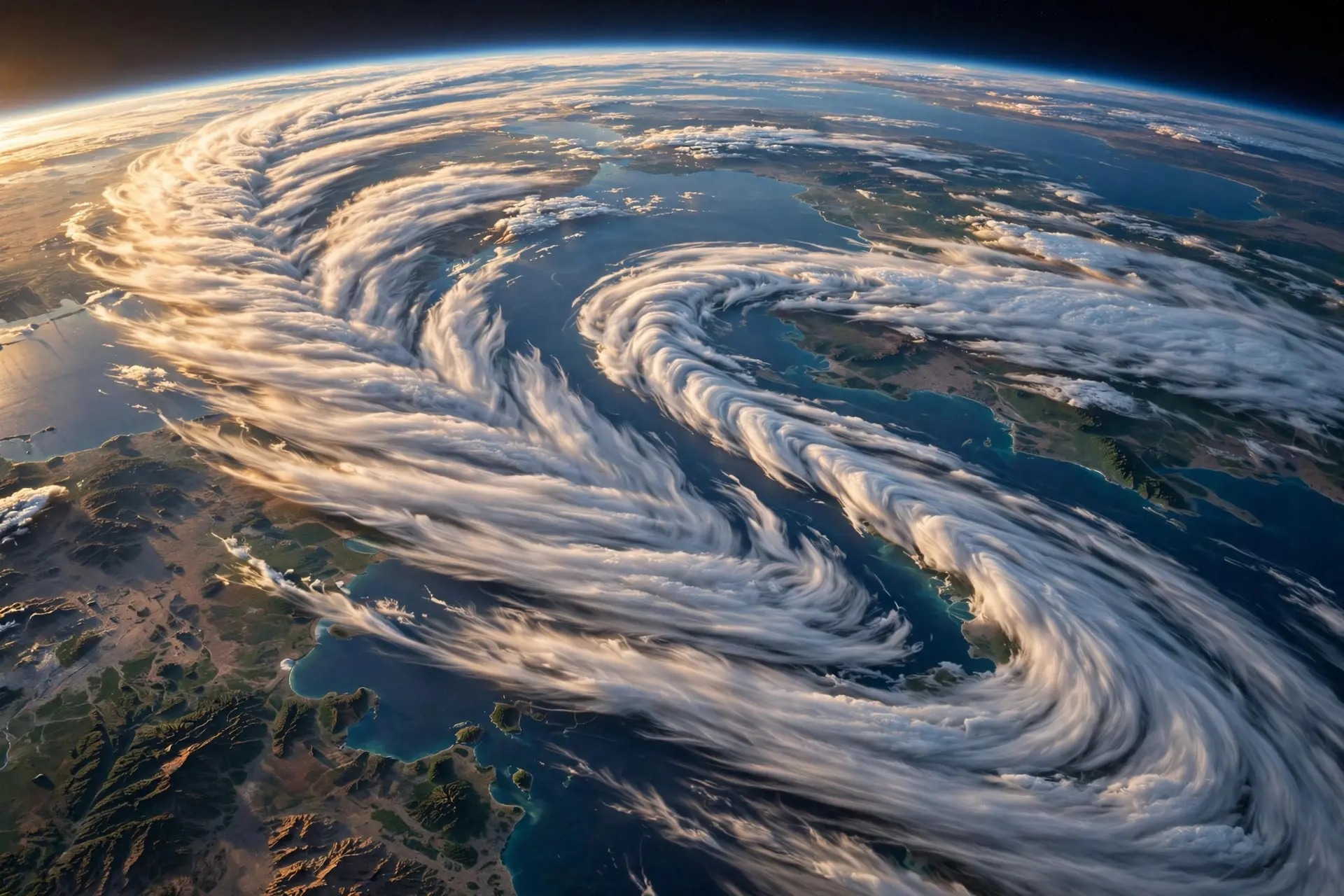
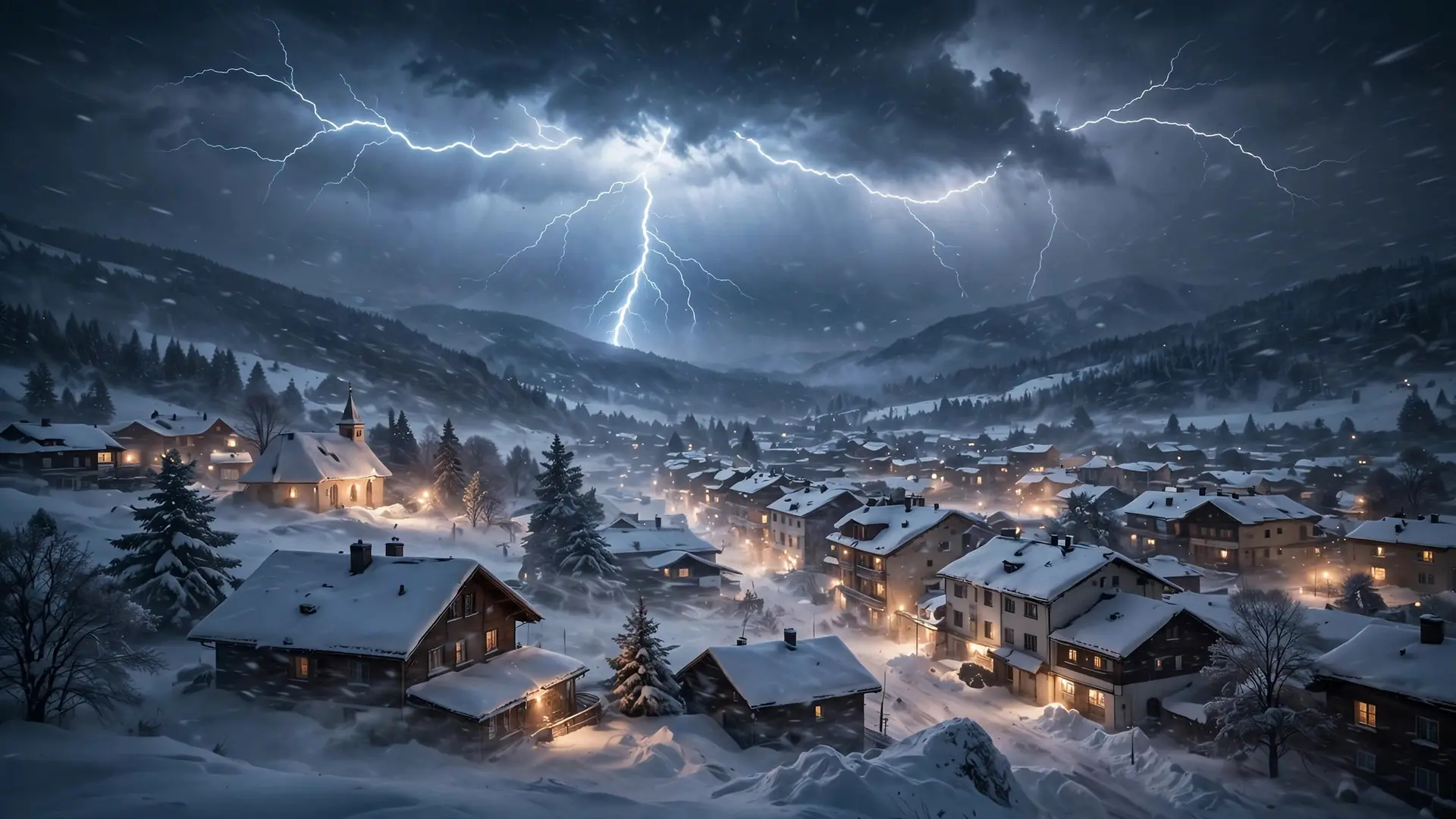
A bomb cyclone needs two ingredients colliding at full strength: bitterly cold air and warm, moist ocean air. In winter, the North American landmass turns frigid while ocean currents such as the Gulf Stream stay warm. When an Arctic front sweeps off the coast and meets that warm, moist air, the contrast is extreme. The warm air rises violently, condenses into towering clouds, and leaves a growing vacuum at the surface. That vacuum is what a low-pressure center is: less air weighing down on the ground. The second ingredient sits high above. A fast-moving ribbon of air in the upper atmosphere, the jet stream, passes over the developing storm and vents air away from the top faster than air can flow in at the bottom. Think of a fireplace with a strong chimney draft: the fire roars because smoke and hot air are pulled upward. The jet stream does the same for a winter storm, and surface pressure collapses as the air above is evacuated. Forecasters watch for a pocket of maximum wind inside the jet stream, called a jet streak, lining up directly over the surface low. When it does, the deepening can begin within hours. Moisture, instability and lift are the same three ingredients behind every thunderstorm, including the most violent supercell thunderstorms of summer. This is also why bomb cyclones can produce thundersnow, lightning inside a blizzard. The violent rising motion builds the same tall, turbulent clouds that charge a summer thunderstorm, except the precipitation falling from them is snow. Strong wind is the shared weapon across extreme weather: over deserts, violent outflow builds haboob dust storms that can swallow a city in minutes, while in a bomb cyclone it drives snow sideways and piles drifts against doors.
Where do bomb cyclones hit hardest?
The most dramatic events form over water, where the temperature contrast is sharpest and there is no land to slow the storm down. Four regions produce them again and again. The US East Coast sits beside the warm Gulf Stream, so a cold front leaving land meets tropical water within miles. The North Pacific off Alaska and the Aleutian Islands spins up storms that slam into the Pacific Northwest with feet of mountain snow. The North Atlantic near Iceland and the United Kingdom catches storms that leave the US coast and re-intensify on their way across the ocean. Japan has a near-identical setup, with cold Siberian air hitting the warm Kuroshio Current.
In North America, the regions most prone to bomb cyclones are Alaska, the Pacific Northwest and the Great Lakes, according to NOAA, and they are uncommon at lower latitudes. The Southern Ocean near Antarctica produces some of the largest oceanic bombs on the planet, but they rarely threaten large populations.
How bad can one get?
The November 2024 storm off the Pacific Northwest shows the ceiling. It formed around November 18, 2024, and its central pressure fell to an estimated 942 millibars, tying the record set in October 2021 and matching the lowest pressure in the region in about 50 years of recorded storms. Falling trees killed at least two people, gusts topped 70 mph (113 km/h), and more than 600,000 customers lost power in Washington on the morning of November 20, 2024. The storm also tapped a strong atmospheric river that pushed heavy rain and feet of mountain snow into Northern California, where NOAA's Weather Prediction Center issued a rare high-risk excessive rainfall outlook. Earlier storms set their own marks. In January 2018, Winter Storm Grayson, the storm the media called a bomb cyclone, reached 972 millibars off the East Coast and had already deepened 32 millibars in 12 hours, beating the 24-hour threshold in half the time. In March 2019, the Colorado bomb cyclone set the state's lowest pressure on record at 970.4 millibars in Lamar, with a 96 mph (154 km/h) gust at Colorado Springs Airport. Each of these storms deepened far faster than the minimum rule requires, which is why forecasters treat a falling barometer of 1 millibar per hour as a warning sign, not a curiosity.
What most people get wrong about bomb cyclones
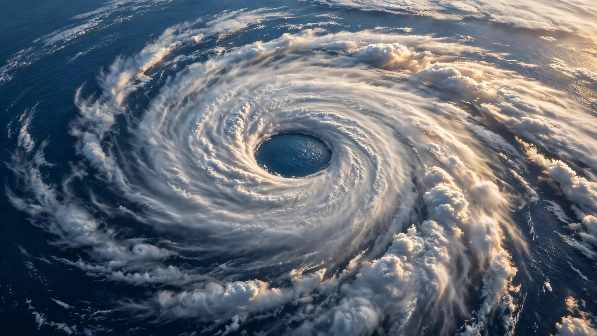
The biggest mistake is treating a bomb cyclone as a kind of hurricane. A hurricane is a tropical system powered by warm ocean water, with a warm core and a calm eye. A bomb cyclone is a mid-latitude storm powered by the clash between two air masses, with a cold core and fronts. A bomb cyclone can reach hurricane-strength winds, but it is built differently, and it weakens over warm water instead of strengthening there. The second mistake is judging a bomb cyclone by its snowfall. The label is about pressure, not precipitation. A storm that drops 24 millibars in 24 hours qualifies even if it brings mostly rain, and a slow, snowy nor'easter that never deepens fast does not. The third mistake is assuming the name is media hype. It is not. The term comes from a 1980 scientific paper, and the National Weather Service now uses it in operational forecasts. When a forecaster says a storm is bombing out, they are describing a measured rate of pressure fall, not reaching for a scarier word. A bomb cyclone is a reminder that winter weather is measured in pressure as much as in snow. When the barometer falls a millibar an hour and keeps falling, the storm overhead is doing something rare. The November 2024 storm fell roughly three times faster than the minimum rule, and the damage across the Pacific Northwest showed what that speed means on the ground. How we made this article: FactSpire researched and drafted it with AI assistance and checked every fact against the sources listed above.
Frequently asked questions
What is a bomb cyclone in simple terms?
It is a mid-latitude storm that strengthens extremely fast. Its central pressure must fall at least 24 millibars in 24 hours, the benchmark at 60 degrees latitude. That rapid deepening can drive hurricane-force winds, blizzard snow and coastal flooding.
Is a bomb cyclone the same as a hurricane?
No. A hurricane is a tropical system powered by warm ocean water, while a bomb cyclone is a mid-latitude storm powered by the clash between cold Arctic air and warm ocean air. A bomb cyclone can reach hurricane-strength winds, but its structure and fuel are different.
When do bomb cyclones usually happen?
They mainly occur from October to March, when Arctic air pushes south and meets warm ocean water. In North America the hardest-hit regions are Alaska, the Pacific Northwest, the Great Lakes and the East Coast.
How strong was the November 2024 bomb cyclone?
The storm off the Pacific Northwest fell to an estimated 942 millibars, matching the lowest pressure recorded in the region in about 50 years. It brought gusts over 70 mph (113 km/h) and left more than 600,000 customers without power in Washington.
Sources
- How bomb cyclones form and create dangerous conditions, Associated Press
- What Is a Bomb Cyclone? Definition, Dangers & Hurricane Comparison, the-weather.com
- Bomb Cyclone Hits Washington, Oregon, California, The Weather Company