What Is the Jet Stream, and Why Does It Steer Weather?
High above the clouds, a narrow river of fast air steers storms across continents. Here is how temperature contrasts create the jet stream and its waves.
Key takeaways
- The jet stream is a narrow band of fast wind in the upper troposphere, flowing mostly west to east where warm and cold air masses meet.
- Earth has four main jet streams: a polar and a subtropical stream in each hemisphere, with the polar stream strongest in winter.
- Its bends, called ridges and troughs, help create surface low- and high-pressure systems, steering storms and fair weather alike.
- When the jet stream stalls into a blocking pattern, one region can stay hot, cold, wet, or dry for days or weeks at a time.
- Forecasters track the jet stream's position because a shift of a few hundred miles can change a region's weather entirely.
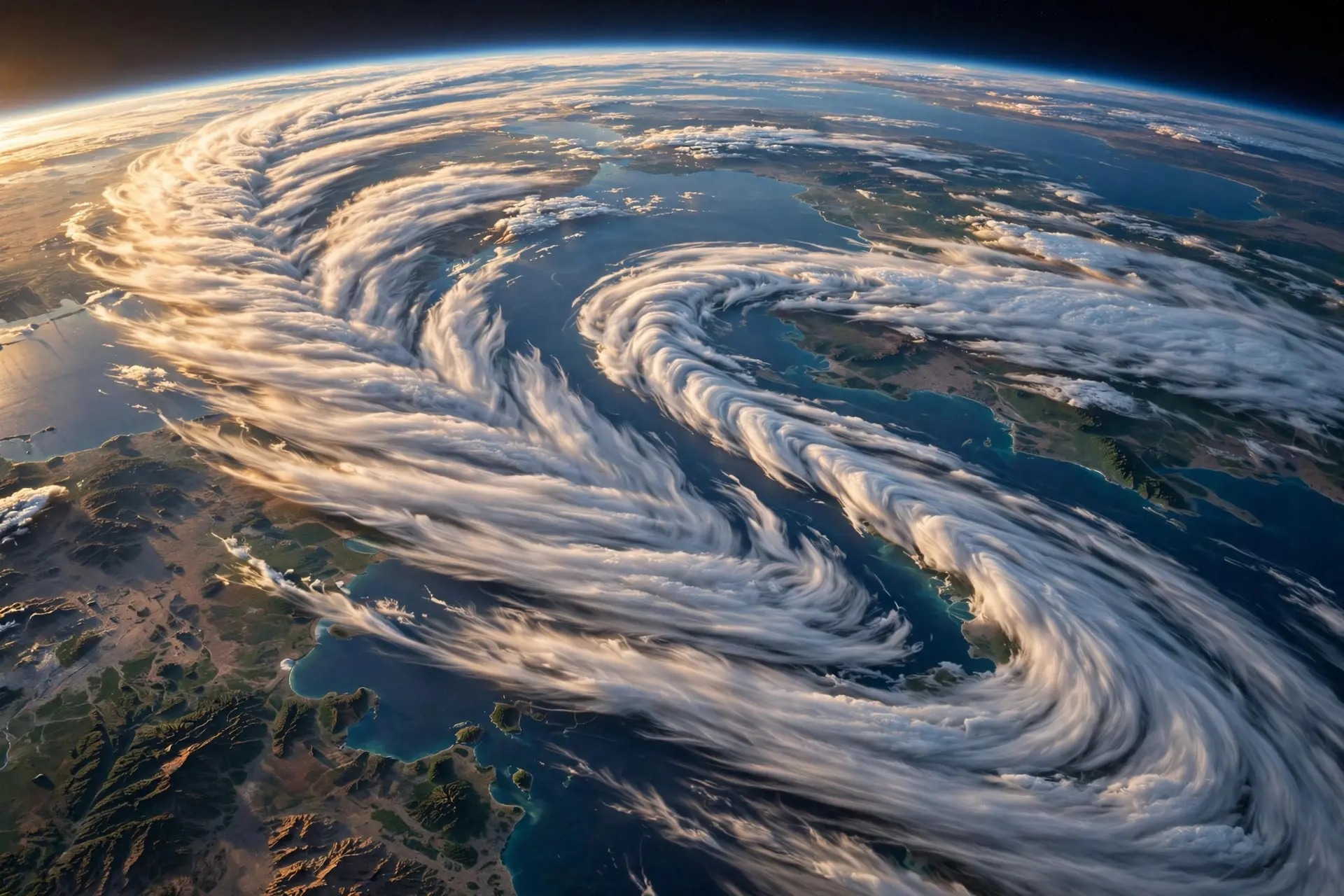
Every weather forecast you have ever heard is, in part, a story about a river you cannot see. Five to nine miles above your head, a narrow current of air races around the planet at highway speeds and faster, bending north and south as it goes. Storms ride it, cold snaps follow its dips, and heatwaves linger where it stalls. That current is the jet stream, and it steers the weather of the mid-latitudes more than any other single feature of the atmosphere.
What exactly is the jet stream?
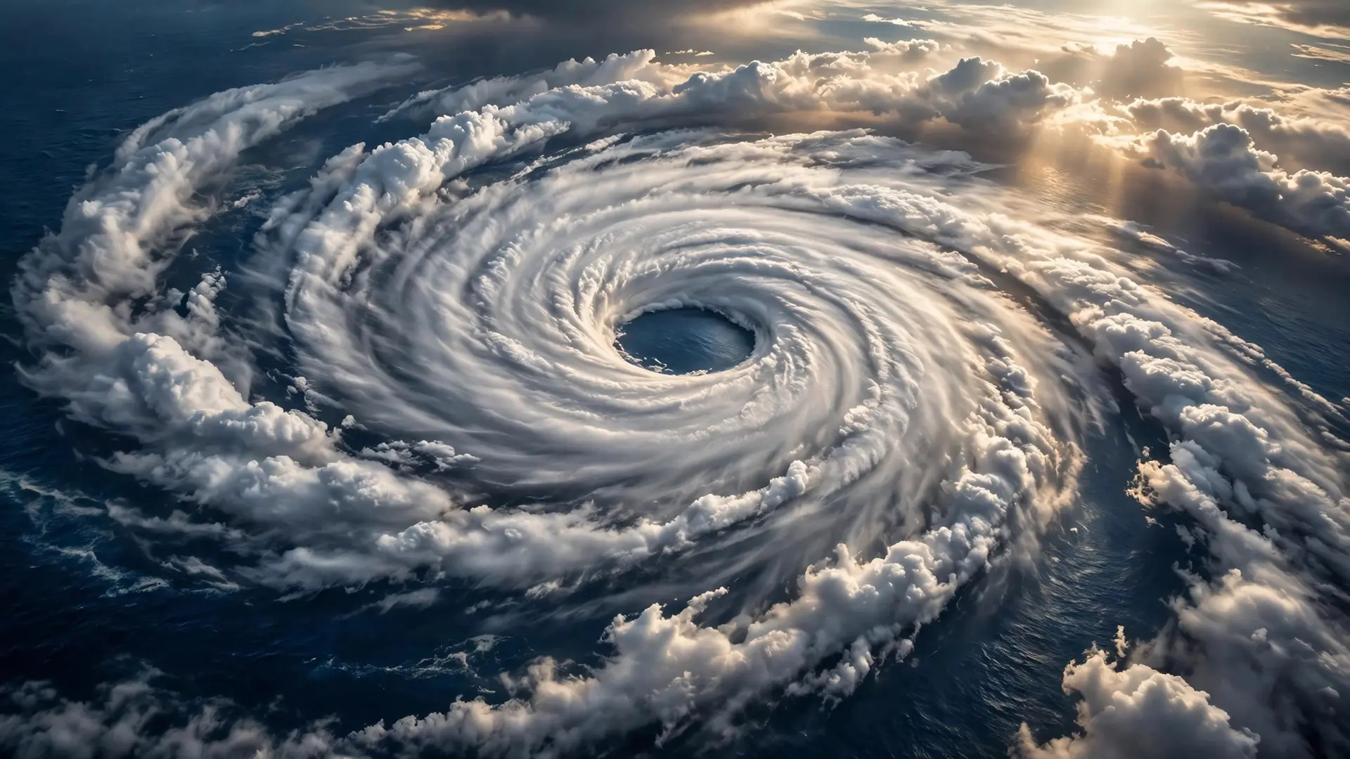
The jet stream is not one wind but a family of them. Earth has four primary jet streams: two polar streams, one near each pole, and two subtropical streams closer to the equator. Each is a narrow band of strong wind in the upper troposphere, the lowest layer of the atmosphere, where almost all weather happens. NOAA puts their average speed at about 110 miles per hour, with dramatic temperature contrasts pushing polar jet streams past 250 miles per hour, most often in winter. They form where air masses of very different temperatures meet. The Sun heats the equator far more than the poles, so warm air piles up in the tropics while cold air pools over the polar regions. Where those air masses meet, warm air rises and cold air sinks, and the resulting pressure difference accelerates air along the boundary into a fast, focused current. The sharper the temperature contrast, the stronger the wind, which is why jet streams blow hardest in winter, when the difference between tropical warmth and polar cold is at its greatest. The polar jet forms near 60 degrees latitude, along the boundary between polar and mid-latitude air, while the subtropical jet forms at the poleward edge of the tropics, where the great overturning circulation of the tropics meets the mid-latitudes. Because of Earth's rotation, both flow predominantly from west to east, and that westerly motion is why weather systems in the mid-latitudes generally travel west to east, arriving from the ocean toward land in places like western Europe and North America. Airliners exploit the same current. A plane flying west to east can ride the jet stream to a faster arrival, while the same route in the opposite direction fights it, which is why an eastbound transatlantic flight is often noticeably shorter than the return leg. Earth's rotation shapes more than this high current: it also governs how hurricanes organise their spin.
How do its bends steer storms?
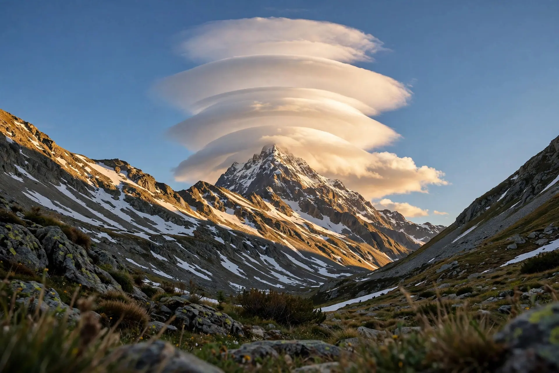
The jet stream never runs straight. It meanders in giant waves, swinging poleward in ridges and equatorward in troughs. Those bends are not decoration; they are the mechanism by which the upper atmosphere organizes the weather at the surface. On the east side of a trough, roughly halfway between the trough and the next ridge, surface low-pressure systems tend to form, bringing rising air, cloud, fronts, and precipitation. East of a ridge, by contrast, high-pressure systems tend to form, bringing sinking air, light winds, and mostly clear skies. Forecasters watch the position of troughs and ridges for exactly this reason: a trough sitting just west of your town often means unsettled weather is on its way, while a ridge to the west often promises a fine spell. That is the jet stream's steering job in normal operation. It keeps weather systems moving, handing each region a few days of one pattern before the next system is shunted along. A low-pressure system or a fair-weather high usually lingers only for a matter of days before the flow pushes it onward. The result is the familiar procession of fronts and clear spells that makes mid-latitude weather so changeable. The same boundary logic explains why halos and sun dogs and other high-cloud optics appear when they do: the upper atmosphere is a busy place, and the jet stream's neighbourhood is where contrasting air masses, moisture, and ice crystals meet.
What happens when the jet stream stalls?
Sometimes the waves in the jet stream grow large and slow, and the procession stops. Meteorologists call the result blocking: a stationary, persistent weather pattern, most often a high-pressure system, that obstructs the oncoming jet stream and the storms riding it. With a block in place, the weather underneath can stay nearly unchanged for days or even weeks, while regions on either side get the weather that was deflected around it.
The shape of the stall matters. In an omega block, named for its resemblance to the Greek letter omega, alternating high- and low-pressure areas sit in the peaks and troughs of an amplified wave. One side of the pattern bakes while the other soaks. In the summer of 2010, an omega block parked high pressure over western Russia for much of July and August, producing a record-hot summer there, while the same pattern pushed monsoon rains north and west over Pakistan, where rainfall ran far above average and floods followed. The same wave system delivered opposite extremes to two regions at once. Blocking is a normal part of the atmosphere, not a new invention. Typical blocking regions see roughly one or two events per season, each lasting about a week on average, and blocking is most common in spring, though its most dramatic effects arrive with summer heatwaves and winter cold snaps. It was a driver of the European heatwave of 2003, the cold winter of 2009-10 in Europe, and record warmth and cold in the United States in successive Marches of 2012 and 2013. What makes blocking dangerous is not strangeness but persistence: a few days of heat or rain is manageable, while a few weeks of the same can strain crops, rivers, power grids, and health. Forecasters also note an honest complication. There is no single agreed definition of a block, and different ways of measuring it give different counts, so long-term trends are hard to pin down. Researchers who study blocking report no clear overall trend against the year-to-year noise, though climate models generally project fewer blocking events in the future as tropical warming aloft strengthens the jet. That projection comes with a caution from the same researchers: models have historically struggled to reproduce blocking well, so the future of blocking remains an open question, not a settled forecast.
Why should you care where the jet stream sits?
Because its position is a shortcut to understanding your forecast. When the polar jet dips south, cold polar air spills into the mid-latitudes beneath the trough, and storm tracks shift with it. When it retreats north, warmer air and calmer weather follow. When it buckles into a deep wave, one region's heatwave becomes another's flood, and when it straightens into a fast zonal flow, storms rattle through in quick succession with little time to linger. The jet stream is also a reminder that weather is connected across continents. A bend over the Atlantic shapes the week in London; a stall over Russia reshapes the monsoon over Pakistan. No region's weather is purely local when a river of air five miles overhead is carrying the systems that decide it. So the next time a forecast promises a change in a few days, or warns that the same weather will sit for another week, look up in your mind's eye. Somewhere above the clouds, a fast, winding current is either carrying the next system toward you or refusing to move. The jet stream does not create every cloud in the sky, but it decides, more than anything else, where those clouds go and how long they stay.
Frequently asked questions
Why does the jet stream blow from west to east?
The jet stream sits within the westerly winds of the upper atmosphere, shaped by Earth's rotation. Its path meanders north and south, but its overall motion carries weather systems from west to east.
How fast does the jet stream move?
Jet streams average about 110 miles per hour, but strong polar jet streams in winter can exceed 250 miles per hour when the temperature contrast between air masses is especially sharp.
Can the jet stream really cause a heatwave to last for weeks?
Yes, when the jet stream's waves amplify and stall into a blocking pattern, a high-pressure system can sit over one region for days or weeks, holding hot, dry weather in place while storms are deflected elsewhere.
Sources
- What Is the Jet Stream?, NOAA NESDIS
- Jet Streams and Mid-latitude Systems, University of British Columbia, Department of Earth, Ocean and Atmospheric Sciences
- Jet stream: Is climate change causing more 'blocking' weather events?, Carbon Brief