What Is a Supercell Thunderstorm, Exactly?
A supercell is a thunderstorm with a spinning updraft that can live for hours. Learn how wind shear builds it and why it produces tornadoes and giant hail.
Key takeaways
- A supercell is defined by a deep, persistent rotating updraft called a mesocyclone, which ordinary thunderstorms lack.
- Moderate to strong wind shear, changing speed and direction with height, is the most critical ingredient for supercell formation.
- Separating the updraft from the downdraft lets a supercell live for several hours instead of raining itself out quickly.
- Only a minority of supercells produce tornadoes, but they account for most violent tornadoes, very large hail and damaging winds.
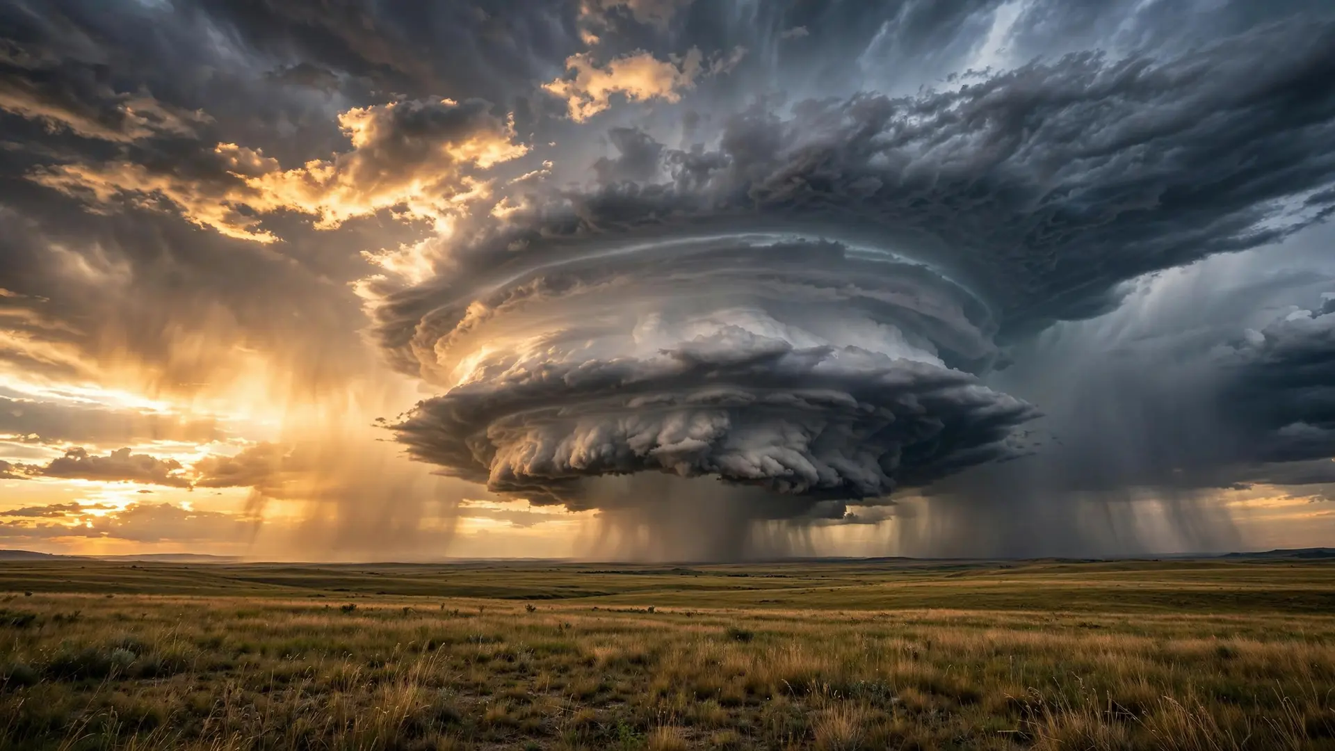
A supercell is not simply a very big thunderstorm. It is a thunderstorm organised around a single, powerful idea: an updraft that spins. Ordinary thunderstorms rise, rain and collapse, often within an hour, because the cold air falling out of them cuts off the warm air feeding them. A supercell solves that problem by tilting its structure so that its rising and falling air stay apart, and by wrapping its updraft into a deep, persistent rotation called a mesocyclone. That rotation is what makes supercells the least common kind of thunderstorm and also the most dangerous, capable of producing violent tornadoes, very large hail and damaging winds over several hours.
What makes a supercell different from an ordinary storm?
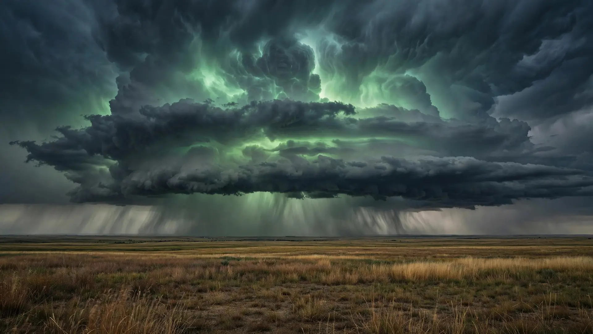
Every thunderstorm needs warm, moist air near the ground and a trigger to lift it. In an ordinary summer storm, the rising air cools, condenses and eventually falls back as rain, and that falling, rain-cooled air spreads out at the surface and undercuts the updraft that created it. The storm, in effect, eats its own fuel supply and dies. A supercell avoids that fate. The National Weather Service explains that wind shear allows the storm to be tilted, which is important for maintaining a separate updraft and downdraft region. Because the falling air does not pour straight back into the rising air, the storm is far less likely to be weakened by ingesting too much rain-cooled, stable air. The updraft can keep drawing in warm, moist surface air while the downdraft deposits rain and hail somewhere else, and the whole system can keep going for hours rather than minutes. That longevity is visible from the ground. A supercell often appears as a very tall storm cloud with an anvil top stretching far downwind, a rain-free base beneath its updraft, and a wall cloud lowering from that base. On radar, forecasters look for a hook echo, a bounded weak echo region where the powerful updraft holds precipitation aloft, and a V-notch in the anvil. None of those features alone proves a supercell, but together they describe a storm that has organised itself into a durable, rotating machine.
How does wind shear create a spinning updraft?
Wind shear is a change in wind speed, direction, or both, with height. It is the ingredient the National Weather Service calls the most critical factor for supercells, more important than buoyancy alone, and it needs to be moderate to strong between the surface and about 20,000 feet. The mechanism is easier to picture with a simple image. Imagine wind near the ground blowing slowly in one direction while wind higher up blows faster in a different direction. The difference between those layers sets the air between them rolling slowly around a horizontal axis, like a pencil rolled between two hands moving in opposite directions. That rolling tube of air is invisible and harmless on its own.
When a thunderstorm's updraft grows through that layer, it grabs the rolling air and tips it upright, then stretches it vertically. Stretching a spinning column makes it spin faster, just as a figure skater spins faster when pulling their arms in. The result is the mesocyclone: a deep, persistent rotating updraft, typically a few miles across, that defines the supercell. The National Weather Service's spotter guide describes a mesocyclone as a storm-scale region of rotation, typically around 2 to 6 miles in diameter, often found in the rear flank of a supercell, and notes that its circulation covers an area much larger than any tornado that may develop within it. That distinction matters: a mesocyclone is broad rotation, detected mainly by radar, while a tornado is a much narrower vortex that can develop inside or beneath it. That is why forecasters can warn of a rotating storm before any tornado exists, and why a supercell can look terrifying on radar yet never produce one.
What kinds of supercells are there?
Supercells are not all alike, and their appearance depends largely on how much moisture is available and how the winds behave in the middle levels of the atmosphere. The National Weather Service describes four varieties, and a single storm can evolve from one type to another during its life. Classic supercells are the textbook case. They show the familiar radar features and field features: a hook echo, a well-defined wall cloud, a rain-free base and clearly separate updraft and downdraft regions. They are most commonly found in the Great Plains and are often relatively isolated, which makes them the easiest type for spotters to observe safely from a distance. High-precipitation supercells form in very moist air with weak mid-level winds relative to the storm. Their updraft tends to become wrapped in rain, which makes it hard to pick out low-level features such as wall clouds and tornadoes. A tornado hidden in heavy rain is especially dangerous, because it cannot be seen approaching, and the storm may also bring flash flooding from its enormous rainfall. Low-precipitation supercells form in drier air with strong mid-level winds relative to the storm. They produce little rain, but what precipitation they do produce is usually in the form of very large hail, and they are not uncommon in the Texas and Oklahoma Panhandles. Their sculpted, bell-shaped structure makes them photogenic, and they can still produce tornadoes. Miniature supercells are smaller versions of the classic type. They typically form in the cool season, with weak to moderate buoyancy confined to a relatively shallow layer below 20,000 feet. They are a reminder that size alone does not define a supercell; the rotating updraft does.
Why are supercells so destructive if tornadoes are rare?
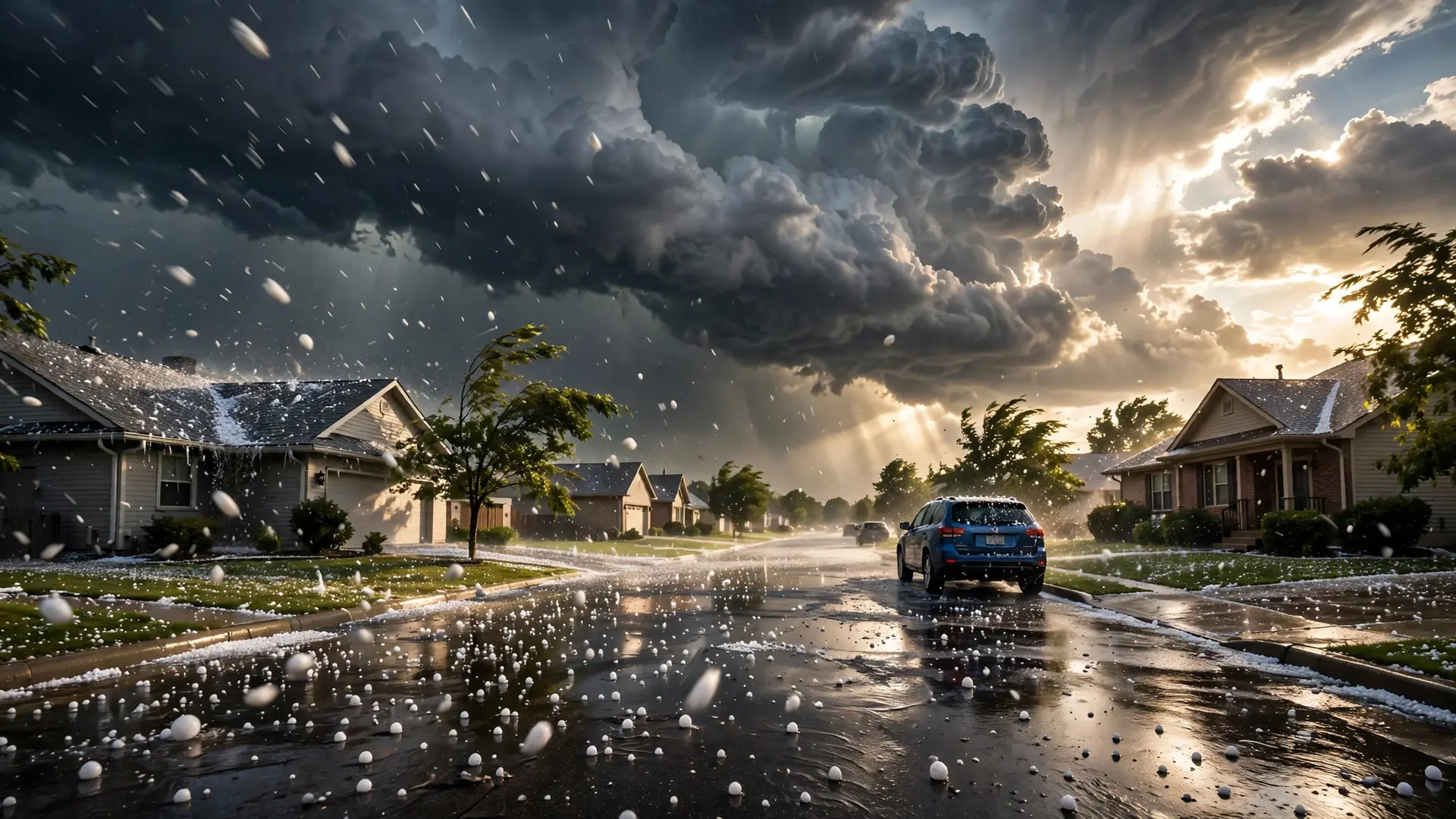
It is a paradox worth stating plainly: most supercells never produce a tornado, yet supercells produce most tornadoes. Weather.com, citing the National Severe Storms Laboratory, reports that as few as 20 percent of supercell thunderstorms produce tornadoes, while supercells are responsible for spawning most tornadoes, violent ones in particular. The best-organised supercells may even spawn a family of tornadoes over their lifetime, with individual tornadoes sometimes staying on the ground for an hour or so. Hail is the other signature hazard. A supercell's updraft is strong enough to hold growing hailstones aloft for repeated trips through supercooled water, so they can grow far larger than hail from an ordinary storm, sometimes larger than a DVD, as Weather.com notes. When those stones finally fall, or are thrown from the storm's edge, they can shred roofs, vehicles and crops. Damaging straight-line winds add a third threat, especially where a supercell's downdraft spreads out violently at the surface. That combination is why forecasters treat any confirmed supercell seriously even before a tornado warning is issued. The storm's structure tells them that the ingredients for severe weather are already assembled and that the storm is built to last. A storm that can sustain itself for hours can also travel hundreds of miles, crossing counties and catching people who assumed the worst had passed with the first downpour. It is also why lightning from a supercell should never be treated as the main danger: the lightning is spectacular, but the rotating updraft, the hail and the wind are what make the storm exceptional. There is also a misconception to avoid. A supercell is not a tornado, and a tornado is not a supercell. Many tornadoes come from supercells, but tornadoes can also form from other storm types, and a supercell can spend its whole life without ever tightening its mesocyclone into a tornado. Likewise, not every tall, dark storm with an anvil is a supercell. What earns the name is the deep, persistent rotating updraft, confirmed by radar and by the storm's behaviour over time.
How should you think about a supercell?
Think of an ordinary thunderstorm as a campfire that burns through its fuel and dies. Think of a supercell as a furnace with a chimney and a separate air intake, designed so that its exhaust does not smother its flame. Wind shear builds the chimney, tilts it, and sets it spinning. Instability supplies the fuel. The separation of updraft and downdraft keeps the furnace running. The result is a storm that can dominate the weather for tens of miles around it, as the National Weather Service notes, and can persist long after neighbouring storms have faded. That is why supercells command so much attention from meteorologists and storm spotters, and why they feature so prominently in severe-weather warnings across the central United States. They are rare, they are structured, and they are efficient at turning ordinary ingredients — warm air, moisture and changing winds — into extraordinary outcomes. When you see a towering anvil cloud on a May or June afternoon, with a dark, rain-free base and a sky that seems to be turning on itself, you may be looking at the most organised thunderstorm nature can build. And the lightning flickering above such storms is only the visible edge of a much larger, spinning system at work.
Frequently asked questions
How is a supercell different from an ordinary thunderstorm?
An ordinary thunderstorm usually rains itself out within an hour because its downdraft chokes its updraft. A supercell keeps the two apart, and its updraft rotates as a mesocyclone, so it can persist for hours.
Does every supercell produce a tornado?
No. According to the National Severe Storms Laboratory, as few as 20 percent of supercells produce tornadoes, though supercells are responsible for most tornadoes, especially the violent ones.
Where are supercells most common?
They are most common in the central United States, especially the Great Plains, but they can form anywhere the ingredients of instability and strong wind shear come together.
Sources
- What is a Supercell?, National Weather Service
- What Is A Supercell Thunderstorm?, Weather.com
- Weather Spotter's Field Guide - Glossary: M, National Weather Service