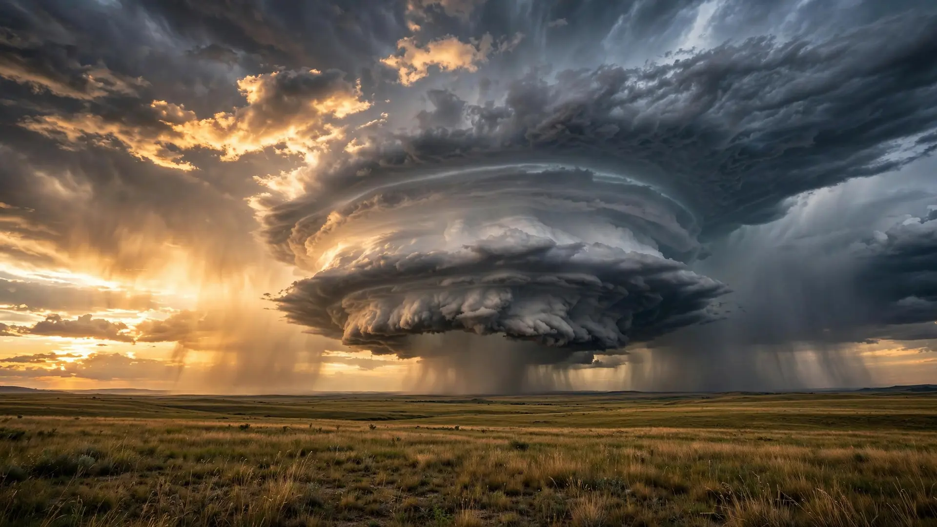
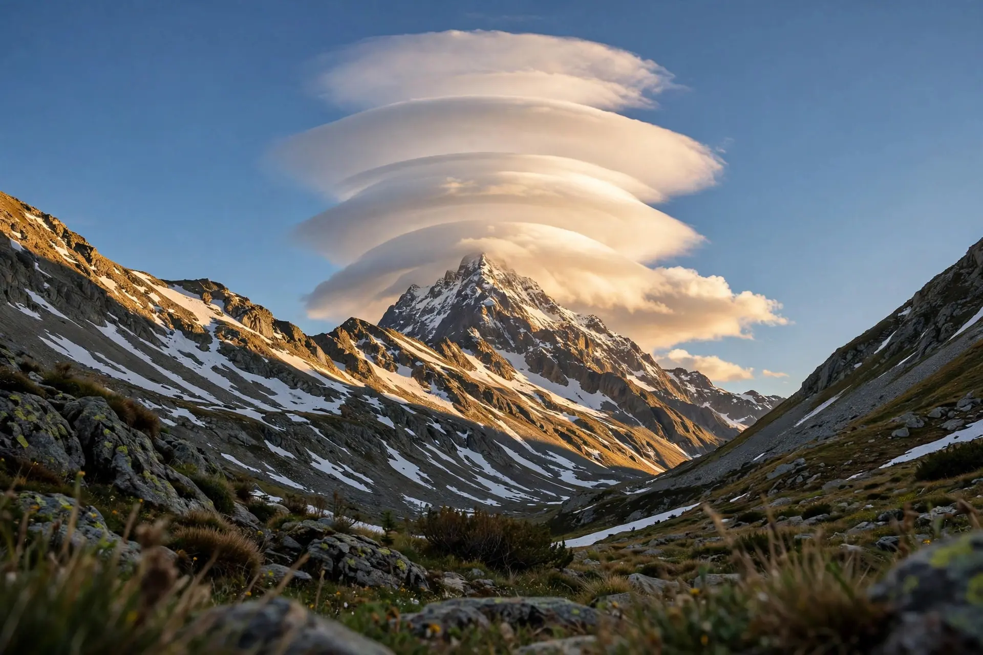
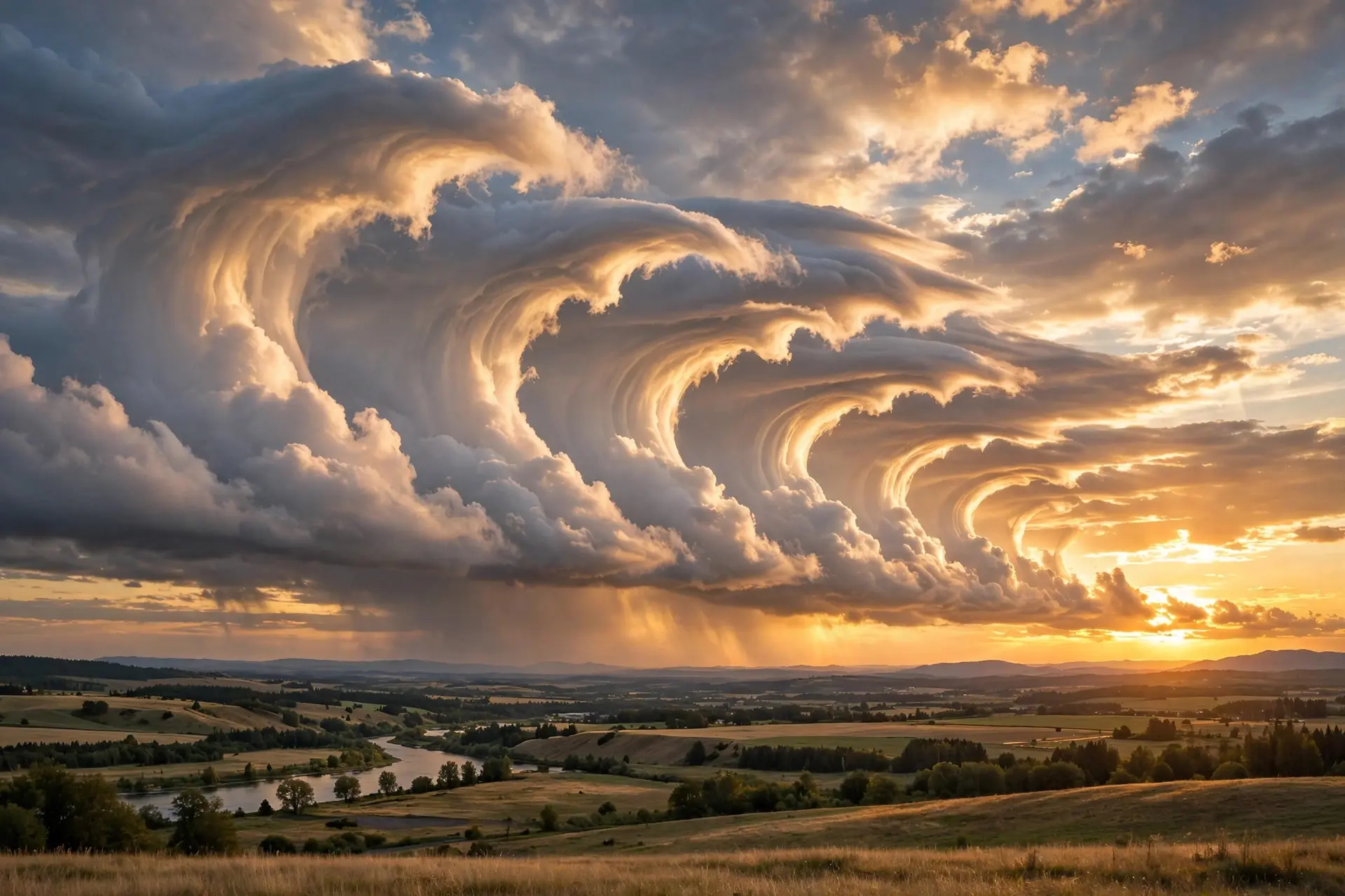
What Are Mammatus Clouds, and Why Do They Hang From Storms?
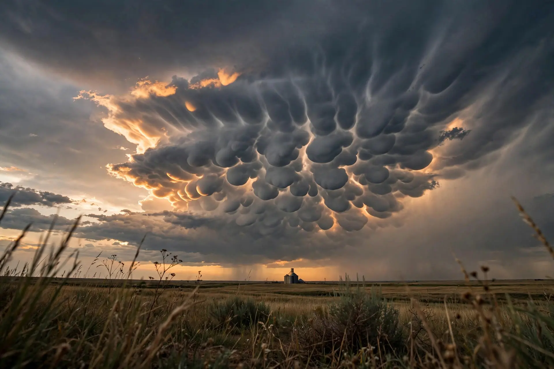
Mammatus clouds are pouch-like lobes hanging from a storm's underside, made by sinking air. What they mean, how they form, and why they don't signal a tornado.
Key takeaways
- Mammatus are pouch-like lobes hanging from a cloud's underside, an unusual case of clouds forming in sinking air.
- Lobes average 1-3 km (0.6-1.9 miles) across and hang about 0.5 km (0.3 miles) below the cloud base.
- They form when falling ice and snow evaporate in dry air below, cooling the air until it sinks in rounded pockets.
- They are harmless and don't predict tornadoes; they usually appear after a storm's worst has passed.
- A whole field can last 15 minutes to a few hours, but a single lobe lives only about 10 minutes.
Mammatus clouds are the rare clouds built by sinking air: pouch-like lobes dangling from a storm's underside, most often a thunderstorm anvil. The surprise is what they don't mean. They are harmless, they don't predict tornadoes, and they usually show up after a storm's worst has already passed.
- Lobes average 1-3 km (0.6-1.9 miles) across, with measured cases from 250 m (820 ft) to 8 km (5 miles), and they hang 0.3-1.1 km (0.2-0.7 miles) below the cloud base, typically about 0.5 km (0.3 miles). (Schultz et al., NOAA/NSSL, via ResearchGate)
- The name comes from the Latin mamma, meaning udder or breast; the American Meteorological Society's glossary defines them as pouch-like protrusions on a cloud's undersurface. (Met Office, Schultz et al.)
- A whole field can last 15 minutes to a few hours, while a single lobe lives about 10 minutes; one 1973 study measured that 10-minute average across 14 lobes. (Schultz et al.)
- They are most common under cumulonimbus anvils but also appear under cirrus, altocumulus, altostratus and stratocumulus, and even under jet contrails and volcanic ash clouds. (Schultz et al.)
- They don't signal tornadoes and typically appear after a thunderstorm's worst has passed; researchers call them largely an atmospheric curiosity. (University of Illinois, Schultz et al.)
- Pilots read them as a warning sign of severe convective turbulence nearby, though turbulence measured inside a lobe itself was light, about 0.2-0.3 g. (Aviation Weather Training)
What are mammatus clouds, exactly?
Mammatus is a supplementary cloud feature: rounded bulges or pouches hanging from the underside of a cloud, most famously beneath the flat anvil of a thunderstorm. The Met Office describes them as pouch-like lobes on the cloud base, and notes the Latin root mamma, udder or breast. The term appears to have been introduced by the meteorologist Ley in 1894. What makes them odd is the direction of the air. Almost every cloud you know is built by rising air: warm, moist air climbs, cools, and condenses. Mammatus are an unusual case of clouds shaped by sinking air instead, as the University of Illinois atmospheric sciences department puts it. They are most famous under thunderstorm anvils, including those of supercell thunderstorms, but they also turn up under cirrus, cirrocumulus, altocumulus, altostratus and stratocumulus, and even beneath jet-aircraft contrails and volcanic ash clouds.
Why do they hang down instead of billowing up?
The leading explanation starts at the top of the storm. Precipitation-heavy air near the storm's summit loses its upward momentum and spreads sideways into the anvil. Ice crystals, snow and droplets then fall from the cloud base into drier, unsaturated air below. As that moisture evaporates or sublimates, it cools the surrounding air, making it denser than its surroundings. Cold, heavy air sinks, and it sinks in rounded pockets: the pouches. Step by step, the process looks like this:
- The storm's updraft lofts ice crystals and snow into the spreading anvil.
- Near the summit, precipitation-laden air runs out of upward momentum and flattens outward.
- Ice and snow fall from the cloud base into the drier air underneath.
- Evaporation and sublimation cool that air, making it negatively buoyant.
- The cooled air keeps sinking in lobe-shaped pockets, each about 0.5 km (0.3 miles) deep.
That account comes from a 2006 review by NOAA National Severe Storms Laboratory scientists, published in the Journal of the Atmospheric Sciences, which also catalogs the competing ideas researchers have weighed: anvil subsidence, melting, hydrometeor fallout, cloud-base instabilities, radiative effects, gravity waves and several fluid instabilities, including the Kelvin-Helmholtz shear that sculpts Kelvin-Helmholtz wave clouds. The Met Office's 2026 deep dive lands in the same place: cold, dense air descending into drier air below, with the precise science not yet fully settled.
How long do they last, and when are they most common?
A field of mammatus can hang in the sky from 15 minutes to a few hours, but the individual pouches are brief: about 10 minutes each, on average. A 1973 study of an Alberta hailstorm that tracked 14 lobes measured almost exactly that 10-minute lifetime. They are creatures of warm afternoons. In 1906, a German observer named Osthoff published a log of 67 mammatus events recorded over 21 years. His tally found them about 10 times more likely in summer than in winter, with more than half appearing between 2 and 5 pm local time. About 42.6 percent were tied to thunderstorms, squalls or cumulonimbus, with the rest spread across stratocumulus and middle-level clouds.
Do mammatus clouds mean a tornado is coming?
No, and this is the myth that refuses to die. Mammatus are not a tornado omen but a footprint of sinking air, and they are harmless in themselves. The University of Illinois notes that they typically appear after a thunderstorm's worst has passed, not before it arrives. The confusion is understandable. Mammatus form in the most unstable cumulonimbus clouds, the same storms that can produce hail, heavy rain and lightning nearby, as the Met Office notes. But the pouches themselves offer forecasters no reliable guidance about tornadoes, severe hail or damaging wind gusts at the ground; they show up with severe thunderstorms but not with all of them. Pilots draw a finer distinction. They treat mammatus as a marker of a turbulent convective neighborhood rather than a danger in itself: turbulence measured inside one lobe on an instrumented jet flight was light, around 0.2-0.3 g, but the surrounding storm can be violently turbulent. As one AOPA account puts it, mammatus often form after a storm has already produced tornadoes, large hail or damaging winds. For the separate question of what the sky does before a tornado, see why the sky turns green before tornadoes. Mammatus reward the patient skywatcher: look under the anvil after the rain has passed, and you may catch the storm exhaling in pouches of sinking air. How we made this article: FactSpire researched and drafted it with AI assistance and checked every fact against the sources listed above.
Frequently asked questions
Why are they called mammatus clouds?
The name comes from the Latin mamma, meaning udder or breast, a nod to the rounded pouches dangling from the cloud base. The American Meteorological Society's glossary defines them as pouch-like protrusions on a cloud's undersurface. The term appears to have been introduced by the meteorologist Ley in 1894.
Do mammatus clouds produce severe weather?
They don't cause severe weather themselves, and researchers treat them mostly as an atmospheric curiosity. They do form in the most unstable cumulonimbus clouds, so hail, heavy rain and lightning can occur nearby. But they offer no reliable guidance for forecasting tornadoes or severe hail at the ground.
How long do mammatus clouds last?
A whole field of mammatus can hang around from 15 minutes to a few hours. Individual lobes are much shorter lived, with an average life cycle of about 10 minutes. One 1973 study that tracked 14 lobes in an Alberta hailstorm measured almost exactly that 10-minute average.
Are mammatus clouds dangerous for airplanes?
Pilots treat them as a marker of a rough neighborhood rather than a hazard in themselves. In-lobe turbulence measured on one instrumented jet flight was light, around 0.2 to 0.3 g. The surrounding convective environment, though, can be severely turbulent, so pilots give the whole storm a wide berth.
Sources
- The Mysteries of Mammatus Clouds: Observations and Formation Mechanisms, ResearchGate (peer-reviewed paper by NOAA/NSSL authors, J. Atmospheric Sciences, 2006)
- Unusual cloud formations, Met Office
- Deep dive: From mountain waves to mammatus, Met Office
- Mammatus Clouds: sagging pouch-like structures, University of Illinois at Urbana-Champaign
- A look at mammatus clouds, Aviation Weather Training
- The Weather Never Sleeps, AOPA