How Did the Incas Build the Qhapaq Ñan Road Network?
How did the Incas build the Qhapaq Ñan road network? With stone, bronze and organised labour, they laid 30,000 km of roads across the Andes, coast to peaks.
Key takeaways
- The Qhapaq Ñan ran for more than 30,000 km (18,600 miles), with some estimates reaching 40,000 km (25,000 miles).
- Four main routes radiated from the central square of Cusco, the Inca capital, across six modern countries.
- Builders used only wooden, stone and bronze tools, with no iron, no wheel and no wheeled vehicles.
- Relay runners called chaskis carried messages up to 240 km (150 miles) in a single day.
- The state planned every road, and communities built them as a labour tax called mit'a.
The Incas built the Qhapaq Ñan by turning road-building into a state project: the ruler in Cusco approved every route, communities built the roads as a labour tax, and engineers adapted each stretch to its terrain with stone, bronze and wooden tools. The result was a network of more than 30,000 km (18,600 miles) that held together an empire stretching across the Andes, all without iron tools, the wheel or a written language.
- UNESCO describes the Qhapaq Ñan as covering more than 30,000 kilometres, built over several centuries by Prehispanic Andean communities and reaching its greatest extent in the 15th century. UNESCO World Heritage Centre
- Four main routes radiated from the central square of Cusco, the capital, and the network linked snow-capped ranges above 6,600 metres (21,650 feet) to the coast, rainforests, valleys and deserts. UNESCO World Heritage Centre
- Inca roads covered over 40,000 kilometres (25,000 miles) by one estimate, in two main north-to-south highways, one along the coast and one through the highlands, plus about 20 secondary routes. World History Encyclopedia
- The roads were built with only wooden, stone and bronze tools, and most were 1 to 4 metres wide, although the highway at Huanuco Pampa reached 15 metres (49 feet) across. World History Encyclopedia
- Chaski relay runners, stationed every 6 to 9 kilometres, carried messages up to 240 kilometres (150 miles) in a single day. World History Encyclopedia
- The inscribed World Heritage property covers 616.06 kilometres (383 miles) of road across 137 component areas and 308 associated archaeological sites, and it was listed in 2014. UNESCO World Heritage Centre
How long was the road network, and where did it run?
Start with the scale, because it is hard to picture. UNESCO puts the network at more than 30,000 km (18,600 miles). Other estimates reach 40,000 km (25,000 miles). Either way, it was the longest road system of its century, and it ran through six modern countries: Colombia, Ecuador, Peru, Bolivia, Chile and Argentina. Everything radiated from Cusco. Four main routes left from the central square of the capital, one for each quarter of the empire, and smaller roads branched off them until the whole of the Andes was tied into a single grid. The empire itself stretched up to 4,200 km (2,610 miles) from end to end at its height in the 15th century.
The terrain was the hardest part. The roads climbed mountain passes up to 5,000 metres (16,400 feet) high, crossed the Atacama Desert, one of the driest places on Earth, and dropped down to hot rainforest and the Pacific coast. UNESCO notes that the routes reached altitudes of more than 6,600 metres (21,650 feet). No single design could cope with all of that, so the Incas built a different road for each landscape, which is why the network still impresses engineers today.
What tools and techniques built roads across the Andes?
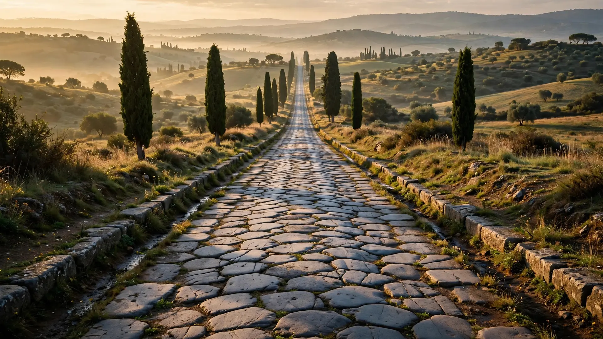
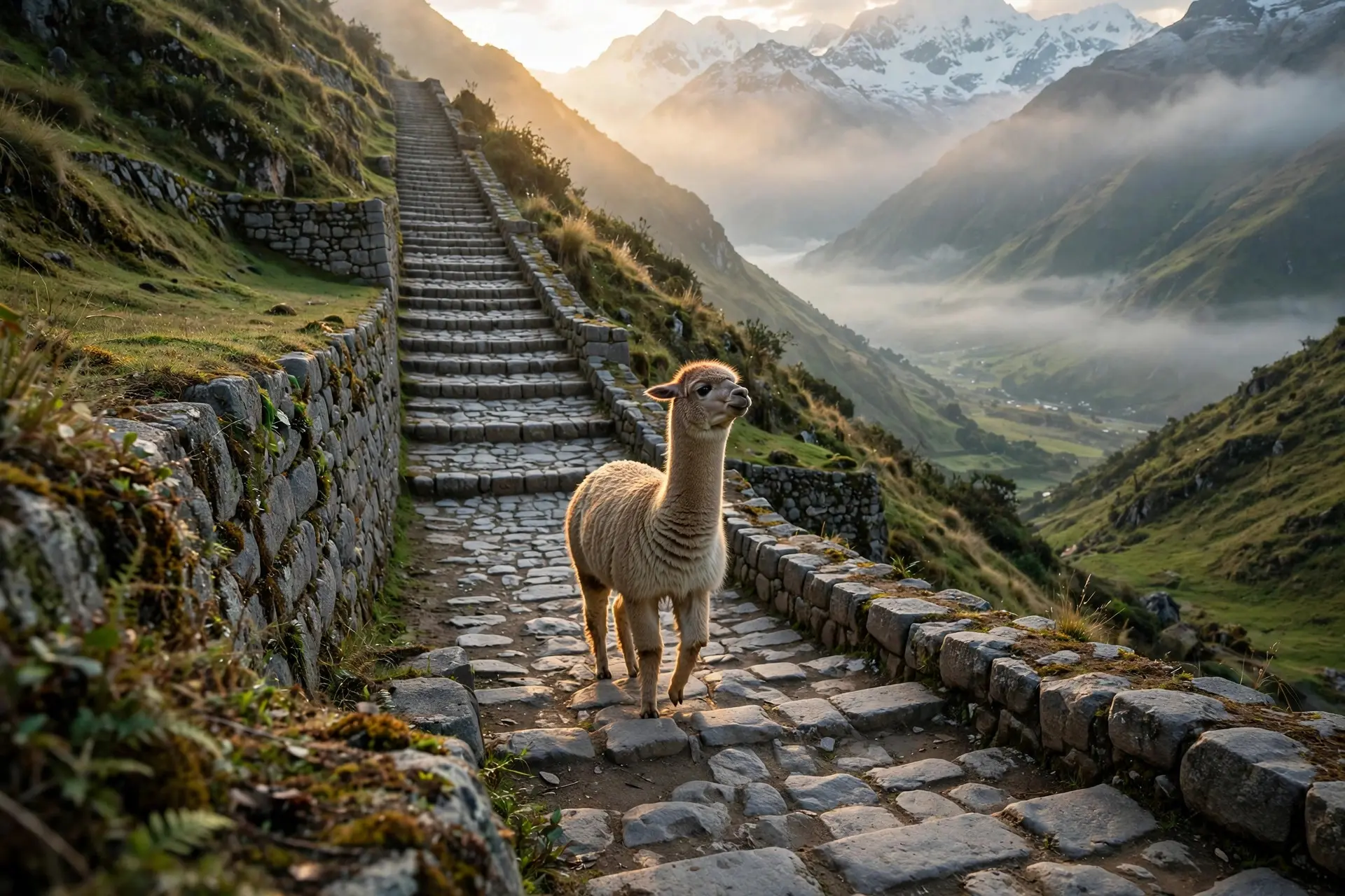
The Incas had no iron tools, no surveying instruments and no wheel. Their toolkit was wood, stone and bronze, plus ropes, levers and a lot of organised muscle. What they lacked in machinery they made up for in method. First came the route. The state planned every road, and no one put a tool to the ground until the Inca rulers had approved it. Surveyors worked by eye, following natural contours rather than forcing straight lines, so long straight stretches are rare. Then came the roadbed. Workers flattened and often raised the surface with packed earth, sand or grass. Important roads were finished with precisely arranged paving stones or cobbles. Roads were edged with small stone walls, markers, wooden or cane posts, or piles of stones, and frequent drains and culverts drew rainwater off the surface, channelling it along or under the road. Where the ground was wet, roads stood on causeways held up by buttress walls. Where the slope was steep, workers carved stone staircases into the rock. Bridges solved the rivers. The most famous were rope suspension bridges, woven from braided grass or reed rope with wooden and fibre floors. The bridge over the Apurimac River near Cusco measured 45 metres (148 feet) long. Bridges were often built in pairs, perhaps one for commoners and one for nobles. A dedicated official, the Chaka Suyuyuq, inspected the empire's bridges, and local communities rebuilt the perishable rope bridges each year as part of their tribute.
| Landscape | The problem | The Inca solution |
|---|---|---|
| Steep mountain slopes | Climbing without slipping | Stone staircases cut into the rock |
| Wetlands and marsh | Sinking roadbeds | Raised causeways on buttress walls |
| Deep river gorges | No way across | Grass rope suspension bridges, built in pairs |
| Heavy Andean rain | Erosion washing the road away | Drains and culverts under and beside the surface |
| High passes | Thin air, freezing nights | Short, well-marked stages with tambos for shelter |
| Milestones marked each topo, an Inca unit of distance equal to 7 km (4.3 miles). The roads were often built far more solidly than they needed to be: a grand road told every traveller that Cusco could build anything, anywhere. |
Who built the roads, and who was allowed to use them?
The labour system was the engine. Communities built the roads as mit'a, a labour tax owed to the state. In return for their service, people received access to food and raw materials from across the empire, a system of reciprocity the Andean peoples called ayni. The roads were not built by slaves or by a standing army of engineers; they were built by the empire's own people, organised by the state, in their turn.
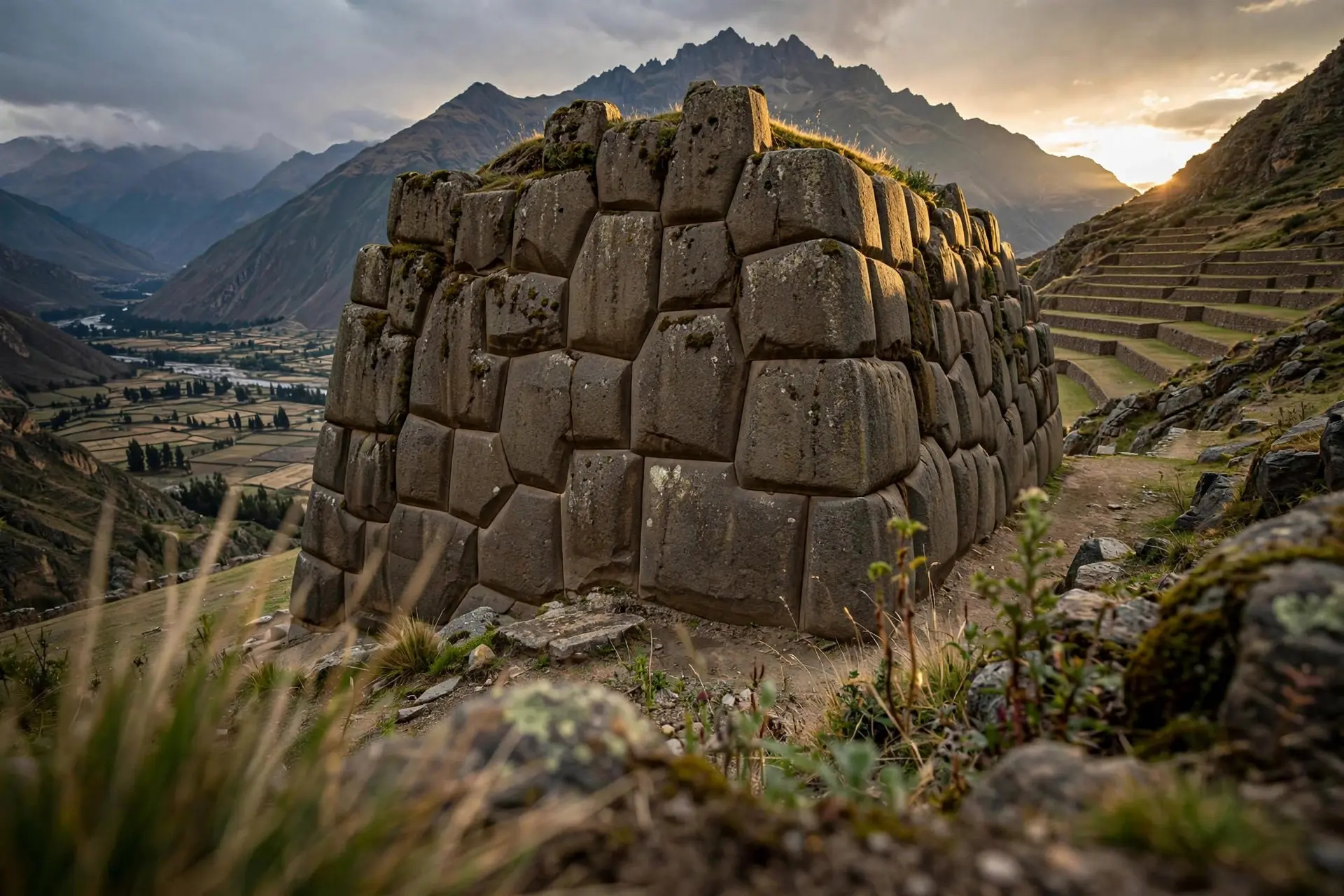
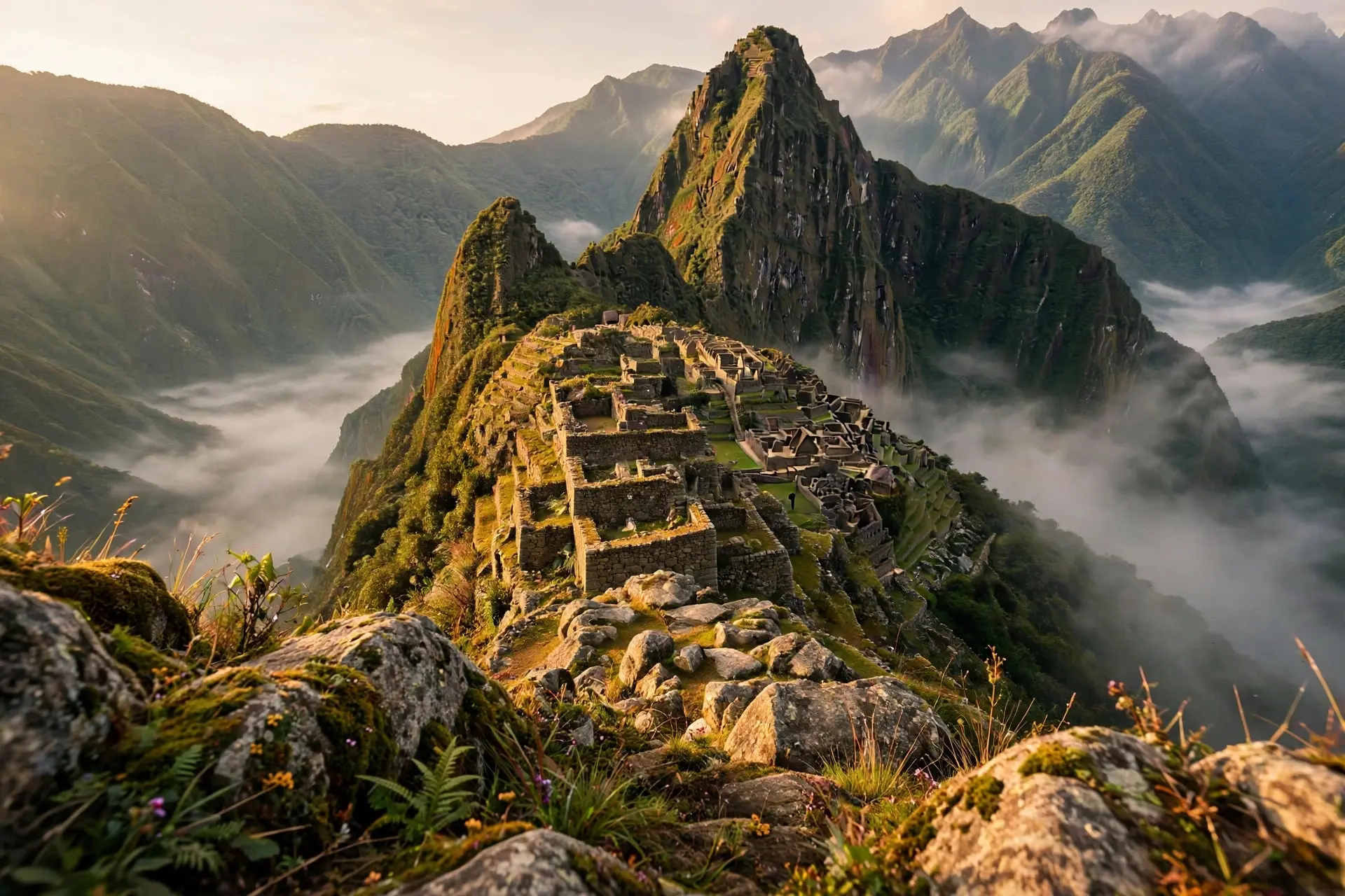
The same organisation ran the roads once they were built. Way stations called tambos stood along the routes, roughly every 20 km (12 miles), offering food, water and shelter to travellers on state business. Smaller relay houses, chaskiwasi, stood every 6 to 9 km (4 to 6 miles) for the runners. The chaskis were the network's fastest traffic. Each runner sprinted to the next relay station, where a fresh runner waited, and the message moved on without pause. In this way, information could travel up to 240 km (150 miles) in a single day, and a message could cover the roughly 2,000 km (1,240 miles) from Quito to Cusco in about a week. The runners also carried fresh fish and seafood for the tables of Inca nobles. Because the Incas had no writing, runners memorised messages and used quipu, knotted cords, as memory aids. Ordinary people could not simply walk on the imperial highways. Travel on state roads needed official permission, and tolls were sometimes charged, especially at bridges. The same skill that built roads also built stonework that still stands. Machu Picchu sits on a fault line yet its walls have survived centuries of earthquakes, Ollantaytambo fortress shows the same precision stonework on a massive scale, and Inca stonework without mortar explains the fitting technique the road builders used for their walls and steps.
What most people get wrong about the Inca roads
The first mistake is thinking the Incas started from nothing. They did not. Earlier Andean peoples, the Wari, Tiwanaku and Chimu, had built roads long before the Incas, and the Incas reused many of their routes. The Inca achievement was to take those older tracks, join them into one system, and standardise them under a single state. The roads were the last chapter of a much longer Andean story, not the first. The second mistake is picturing Roman-style straight highways. Inca roads followed the land. Straight stretches are rare and short, and the network bends around hills and valleys. The Romans built straight; the Incas built to fit the terrain. The third mistake is thinking the roads were built for trade or for ordinary travel. Trade moved on them, and llama caravans carried corn, potatoes and cotton between regions, but the main purpose was rule. The roads let governors reach Cusco, carried state messengers into every province and brought armies to any place that showed signs of rebellion. That is also why the roads helped destroy the empire: when Francisco Pizarro and his soldiers arrived in the 1530s, they did not have to find a way through the Andes, because the Incas had already built one. After the conquest, the network fell apart. It had been designed for people on foot and for llamas, so horses and carts broke the surfaces, and the labour system that maintained it was gone. Many sections survive today and are still walked, above all the trail to Machu Picchu. Some modern roads run directly over the old Inca routes, following lines laid out five centuries ago by engineers with bronze tools and no wheel. How we made this article: FactSpire researched and drafted it with AI assistance and checked every fact against the sources listed above.
Frequently asked questions
How long was the Qhapaq Ñan?
UNESCO describes the network as covering more than 30,000 kilometres (18,600 miles), and some estimates reach 40,000 kilometres (25,000 miles). It ran through what are now Colombia, Ecuador, Peru, Bolivia, Chile and Argentina. The inscribed World Heritage property itself covers 616.06 kilometres of road, with 137 component areas and 308 associated sites.
How did the Incas build roads without iron tools or the wheel?
They used wooden, stone and bronze tools, plus organised labour. Engineers cut steps into rock, built retaining walls and drains, laid cobbled surfaces on important routes, and spanned rivers with rope suspension bridges. Roads were adapted to each landscape: causeways crossed wetlands, and stone staircases climbed steep slopes. No wheeled vehicles ever used them; everything moved on foot or by llama.
What were the chaskis?
Chaskis were relay runners who carried official messages along the roads. Each runner sprinted 6 to 9 kilometres to a small relay station, where a fresh runner waited. Messages, and sometimes fresh fish for Inca nobles, could travel up to 240 kilometres (150 miles) in a single day. Because the Incas had no writing, runners memorised messages, with knotted quipu cords as memory aids.
Why did the Incas build such a huge road network?
Control was the main purpose. The roads let the state move armies, officials and messages to every province, collect tribute and show imperial power in conquered lands. They also carried trade goods, linked production centres and let the ruler in Cusco govern an empire that stretched up to 4,200 kilometres (2,610 miles) from end to end.
Sources
- Qhapaq Ñan, Andean Road System, UNESCO World Heritage Centre
- The Inca Road System, World History Encyclopedia
- The Inca Road System: How It Built and Broke an Empire, Evolution Treks Peru
- Qhapaq Ñan, the Inca world heritage site that links different regions in Peru, Adventure.Travel
- The Chaski: Official Messengers of the Inka Empire, Smithsonian National Museum of the American Indian