What Is the Deepest Point on Land Anywhere on Earth?
Bentley Subglacial Trench lies 2,555 metres below sea level beneath Antarctic ice, yet the Dead Sea shore and a newer canyon map complicate the title.
Key takeaways
- The classic answer is Bentley Subglacial Trench in West Antarctica, whose bedrock floor sits 2,555 metres below sea level beneath the ice sheet.
- The trench is not open ground: it is buried under the West Antarctic Ice Sheet, so no person has ever stood on its floor.
- The lowest ground you can actually walk on is the Dead Sea shore, roughly 400 metres below sea level — a very different kind of record.
- A 2019 Antarctic bed map found a canyon under Denman Glacier reaching about 3,500 metres below sea level, challenging Bentley's title.
- Bentley sits in the West Antarctic Rift System, where the crust was stretched and thinned, and it would stay well below sea level even if the ice vanished.
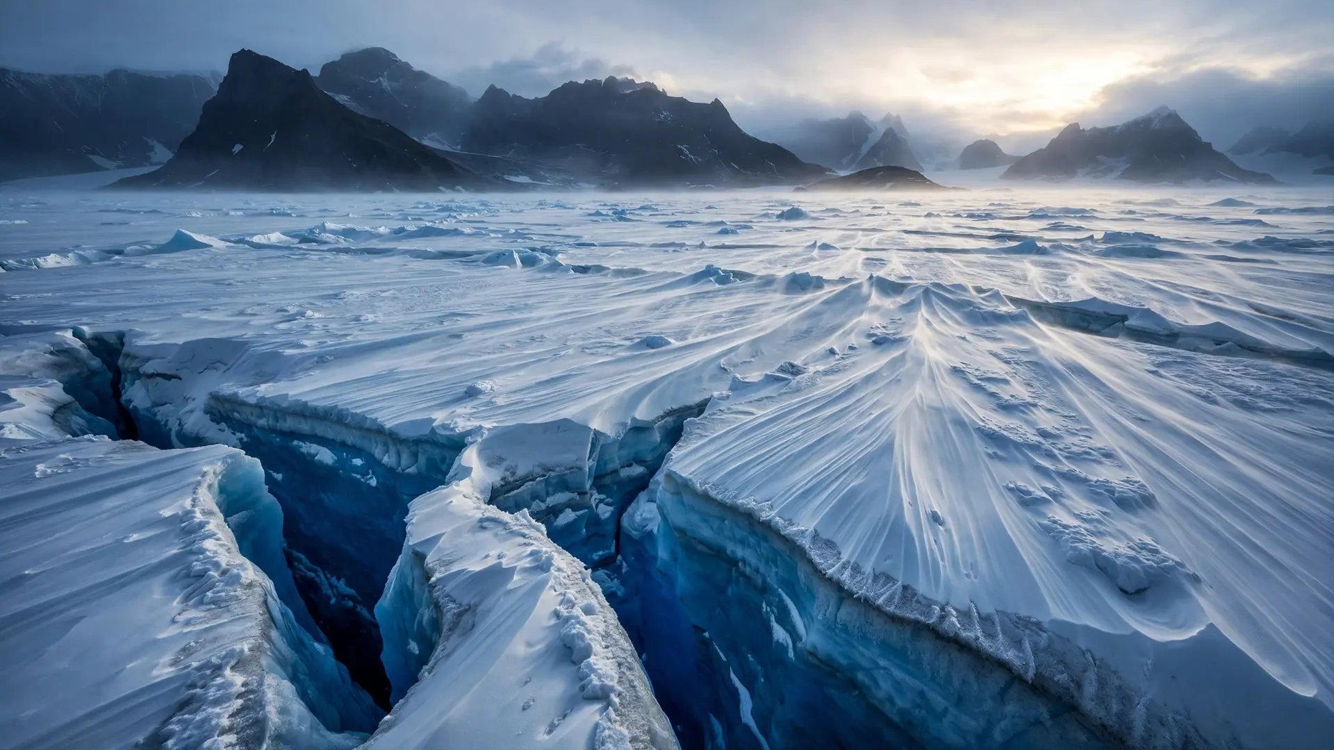
The deepest point on land on Earth is Bentley Subglacial Trench, a valley floor in West Antarctica that lies 2,555 metres below sea level. There is a catch, and it matters: the trench is not a place you can stand. It is buried beneath the West Antarctic Ice Sheet, so the record belongs to bedrock that no human eye has ever seen directly. The answer changes depending on whether you mean the lowest land anywhere, or the lowest land you can actually walk on — and a newer map has made even the first answer less certain than it used to be.
Where exactly is the deepest point on land?
Bentley Subglacial Trench runs through Marie Byrd Land in West Antarctica, at roughly 80 degrees south and 115 degrees west. The United States Central Intelligence Agency's World Factbook lists it as the lowest point on Earth not covered by seawater, at 2,555 metres (8,382 feet) below sea level, and the deepest ice yet discovered sits above it. The trench is part of a broad basin in the West Antarctic Rift System, a zone where the continent was pulled apart and its crust stretched thin. That setting explains why the record sits in Antarctica at all. West of the Transantarctic Mountains, the crust sagged into a wide rift valley, much of which lies about a kilometre below sea level. The trench is the deepest pocket within that sagging landscape, alongside the neighbouring Byrd Subglacial Basin. Researchers who mapped the region with seismic instruments found something else beneath the trench: unusually hot rock in the mantle, evidence that this stretch of the rift was active relatively recently in geological terms. The trench takes its name from Charles R. Bentley, the geophysicist who led the West Antarctic survey expeditions of 1957 to 1959 that first revealed it. Those teams could not see the ground they were mapping. They fired seismic signals through the ice and timed the echoes off the bedrock below, slowly sketching a landscape that had been hidden for millions of years. The name was formally applied in 1961, a quiet honour for a discovery made entirely by sound.
How was a valley under kilometres of ice discovered?
The short answer is patience and explosives. Early Antarctic surveyors mapped the ice surface easily enough, but the rock beneath remained guesswork until seismic sounding arrived. A team would set off a charge, listen for the echo from the ice-rock boundary, and convert the travel time into a depth. Repeated thousands of times across a survey grid, those echoes built the first picture of Antarctica's buried topography — including a trench deeper than anyone expected. Modern work has sharpened the picture rather than replacing it. In the austral summers of 2009 to 2012, researchers deployed seismometers across the West Antarctic Rift System and Marie Byrd Land, recording distant earthquakes to build maps of seismic velocities beneath the rift. The work confirmed the trench as part of a stretched, thinned crust, and showed that the rift's heat has not fully faded. As one researcher on the project put it, removing the ice would let West Antarctica rebound, but the trench itself would still sit roughly a kilometre and a half below sea level. The depth is built into the rock, not just pressed down by ice.
What about the Dead Sea — isn't that the lowest land?
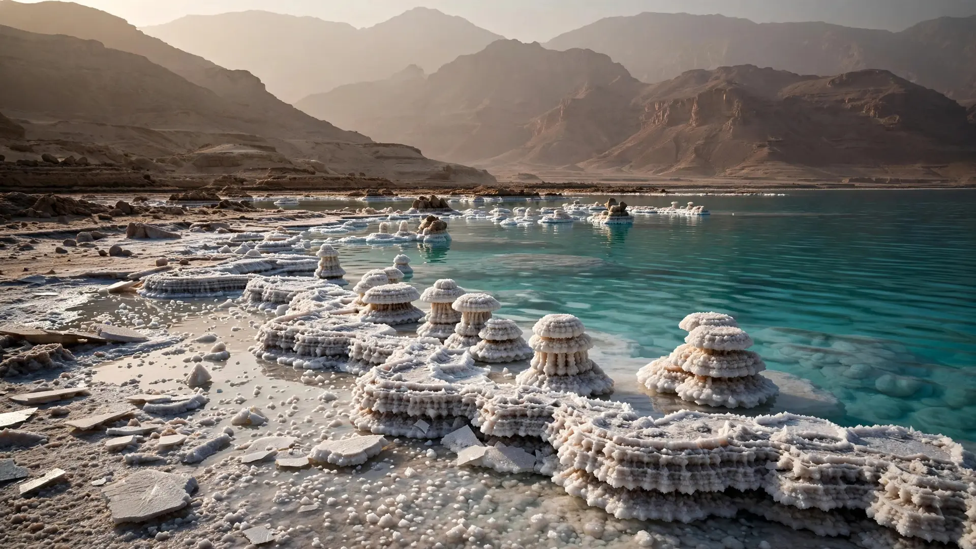
This is the most common confusion, and it comes down to one word: exposed. The Dead Sea, between Israel and Jordan, is the lowest surface feature on Earth that you can actually see and stand beside. NASA puts its surface at roughly 400 metres below sea level, in a depression where the African and Arabian plates are pulling apart. Its shores are the lowest dry land open to the sky anywhere on the planet, and the Dead Sea's own story is one of a sinking rift valley and a shrinking lake.
Bentley is more than six times deeper, but it is covered by ice rather than water, which is why reference works treat it as a separate category: the lowest point not under the ocean. The Mariana Trench, by contrast, is deeper still at nearly 11,000 metres below the ocean surface — but it is ocean floor, not land, and belongs to a different record entirely, as the story of the Mariana Trench explains. So there are three honest answers to three slightly different questions: the Dead Sea shore for the lowest open ground, Bentley for the lowest land not under the sea, and the Mariana Trench for the lowest point on the planet's surface overall.
Could a newer discovery take Bentley's title?
Possibly — and this is where the story gets interesting. In 2019, the BedMachine Antarctica project, led by the University of California, Irvine, published the most detailed map yet of the rock beneath Antarctica's ice. Combining decades of radar soundings with ice-flow physics, the team found that the trough beneath Denman Glacier in East Antarctica reaches about 3,500 metres below sea level, making it the deepest land canyon on Earth according to NASA's account of the work. That is roughly a kilometre deeper than Bentley. The Denman trough is narrow and steep-walled, which is why earlier radar flights missed its true floor: echoes bounced off the canyon walls and hid the reflection from the bed. Whether Denman displaces Bentley depends on definitions that scientists are still arguing over — a canyon floor under a fast-moving glacier versus a broad subglacial basin — and older reference works still list Bentley. What is certain is that both contenders lie under Antarctic ice, and both are far deeper than any low point on an ice-free continent. That uncertainty is part of the fascination. Antarctica's bedrock is still being mapped, and each generation of instruments finds the hidden continent stranger than the last — the same frozen continent that holds the planet's cold record, measured at Vostok Station. The deepest point on land may yet move again as the maps improve. For now, Bentley Subglacial Trench keeps the classic title, Denman Glacier holds the challenger's claim, and the Dead Sea shore keeps the record you can actually visit — three depths, three definitions, and one continent hiding the extremes.
Frequently asked questions
What is the deepest point on land on Earth?
By the long-standing reference answer, it is Bentley Subglacial Trench in Marie Byrd Land, West Antarctica, at 2,555 metres below sea level. A newer bed map suggests a canyon under Denman Glacier in East Antarctica reaches about 3,500 metres below sea level, so the title is now contested between the two.
Can you visit the deepest point on land?
No. Bentley Subglacial Trench lies beneath the West Antarctic Ice Sheet, and reaching its bedrock floor would mean drilling through kilometres of ice in one of the most remote places on Earth. The lowest place you can actually stand is the shore of the Dead Sea, roughly 400 metres below sea level.
Is the deepest point on land deeper than the Mariana Trench?
No. The Mariana Trench plunges to nearly 11,000 metres below the ocean surface, far deeper than any land point. The distinction is between land not covered by ocean and the ocean floor itself.
Why is so much of West Antarctica below sea level?
The crust there was stretched and thinned as part of the West Antarctic Rift System, and the weight of the ice sheet presses it down further. Researchers note that even with the ice removed, the trench would remain roughly a kilometre and a half below sea level.
Sources
- The geography of Antarctica's underside, Washington University in St. Louis
- Denman Glacier Losing Some of Its Footing, NASA Science
- The Dead Sea, NASA Science