The Sahara Was Once Green — Why Did It Become a Desert?
10,000 years ago the Sahara was grassland and lakes. How an orbital climate switch dried it into desert — and why it could turn green again.
Key takeaways
- The Sahara covers roughly 9 million square kilometers of North Africa; published figures run from about 8.6 million upward, depending on where its edges are drawn.
- Sand seas and sand sheets cover only about a quarter of the Sahara. Most of it is gravel plains and bare rocky plateaus, plus mountains such as the Ahaggar and Tibesti.
- The desert lies under the sinking, drying branch of the Hadley circulation, and parts of the eastern Sahara receive less than 5 mm of rain a year.
- For most of the time between about 14,500 and 5,000 years ago, the Sahara was green, with grassland, hippos, crocodiles and lakes such as Lake Mega-Chad.
- NASA satellite data suggest about 27.7 million metric tons of Saharan dust settle on the Amazon basin each year, carrying some 22,000 tons of phosphorus.
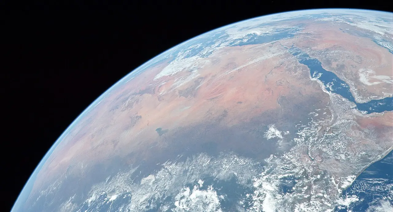
The Sahara is the largest hot desert on Earth: roughly 9 million square kilometers of rock, gravel and sand spread across North Africa, close to the size of China or the United States. Its summer afternoons can climb past 50°C, yet for most of the period between about 14,500 and 5,000 years ago, much of it was grassland dotted with lakes. Both facts have the same root. The Sahara is dry because of where it sits in the planet's circulation of air, and it turns green whenever slow changes in Earth's orbit knock that circulation off balance.
How big is the Sahara, and what is it made of?
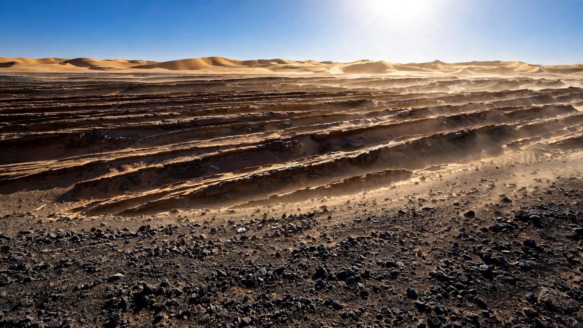
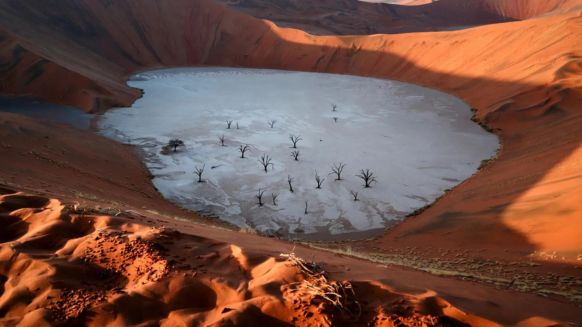
The desert runs from the Atlantic coast to the Red Sea, and from the Atlas Mountains and the Mediterranean shore south to the Sahel, the semi-arid belt where it fades into savanna. Those edges are gradients, not lines, so its area depends on who draws the map: published figures run from about 8.6 million square kilometers to more than 9 million. Whichever figure you choose, the Sahara fills more than a quarter of Africa and rivals China's 9.6 million square kilometers. It is also far less sandy than its image. Sand seas, known as ergs, cover only a minority of the desert: counting sand sheets as well as dunes, about a quarter of its surface, and some estimates put the share lower. Some ergs do hold chains of dunes more than 100 meters high. Most of the Sahara, though, is reg, flat plains of gravel and coarse sand, along with hamada, bare stony plateaus scoured by wind. Mountain massifs rise from the middle of it all, including the Ahaggar in southern Algeria and the volcanic Tibesti in northern Chad, where Emi Koussi, the desert's highest peak, tops 3,400 meters.
Why is the Sahara so hot and dry?
The short answer is sinking air. Near the equator, strong sunshine drives warm, humid air upward, where it cools and drops its moisture as tropical rain. That air, now dry, flows toward the poles high in the atmosphere and descends again over the subtropics. As it sinks it is compressed and warms, which stops clouds from forming. The Sahara lies beneath the northern half of this loop, the Hadley circulation, and our explainer on why the equator is not the hottest place on Earth follows the whole circuit.
The result is one of the driest landscapes on the planet. In the eastern Sahara, around the meeting point of Egypt, Libya and Sudan, average rainfall is under 5 millimeters a year, dry enough to bear comparison with Chile's Atacama Desert. In the 1970s the meteorologist Jule Charney added a twist: bare, pale ground reflects much of the sunlight that strikes it, so the desert surface sheds heat and the air above keeps sinking. A desert, in other words, helps keep itself a desert. The heat is real, if often exaggerated. Summer temperatures can pass 50°C, and a reading of 51.3°C at Ouargla, Algeria, on 5 July 2018 has been described by meteorologists as Africa's hottest reliably measured temperature. The World Meteorological Organization still lists 55.0°C at Kebili, Tunisia, in 1931 as the continental record, although some weather historians question the accuracy of readings from that era. In 2012 the WMO also threw out a famous 58°C reading from El Azizia in Libya, judging it a probable misreading. Dry, cloudless air loses heat quickly after dark, and winter nights can fall below freezing.
Was the Sahara really green?
It was, and not very long ago. Pollen preserved in sediments shows that a green state prevailed across North Africa for most of the time between about 14,500 and 5,000 years ago, according to NOAA. Steppe grasses and shrubs covered what is now desert, and savanna spread across the Sahel. Scientists call this window the African Humid Period. Its most notable interruption came during a cold snap known as the Younger Dryas, when the region turned drier. The evidence lies scattered across today's sand. Ancient shorelines mapped from space show that Lake Mega-Chad once covered more than 350,000 square kilometers, and NASA puts its peak above 400,000, a lake on the scale of the Caspian Sea. Modern Lake Chad is a small remnant. In Niger's Ténéré Desert, a team led by the paleontologist Paul Sereno was looking for dinosaurs when it found Gobero, a cluster of some 200 graves beside a vanished lake. The first people buried there lived by the lake roughly 10,000 to 8,000 years ago. They hunted game and speared Nile perch up to about 1.8 meters long, and the dry lake bed nearby also holds the bones of crocodiles and hippos. Sereno described finding bones "belonging to animals that don't live in the desert." After a dry spell emptied the lake, a second culture of hunters, fishers and cattle herders lived there from about 7,000 to 4,500 years ago. Then there is the art. In 1933 the Hungarian explorer László Almásy found painted figures in a rock shelter at Wadi Sura, on the Gilf Kebir plateau of southwestern Egypt, that appear to be swimming. Whether they really show swimmers is still argued over, but the "Cave of Swimmers" has become the emblem of a Sahara with water in it.
Why does the Sahara switch between desert and green?
The switch is set by a slow wobble of Earth's axis, called precession, which shifts the season in which the planet passes closest to the Sun. When that closest approach falls in the northern summer, North Africa heats more strongly each June and July, the land pulls in moist ocean air harder, and the West African monsoon pushes deep into the Sahara. The reverse ended the last humid period: as NOAA explains, tropical summer sunshine weakened gradually through the early and middle Holocene, and the monsoon rains faded with it. This has happened again and again. A 2023 modeling study in Nature Communications found that North Africa's wet phases across the last 800,000 years kept time with precession, which repeats roughly every 21,000 years. During ice ages, though, the vast northern ice sheets cooled the climate enough to suppress the monsoon, so some beats of the orbital clock passed with the Sahara staying dry. How quickly the green ended is still debated. Sediment cores from the Atlantic off West Africa show the amount of dust blowing off the continent jumping abruptly around 5,000 years ago, which suggests that once the rains fell below what plants needed, the land tipped quickly into desert. Pollen records indicate that North African vegetation has two stable states, desert and green. Yet sediments from Lake Yoa in northern Chad, a lake fed by groundwater that has never dried out, tell a gentler story: a team led by Stefan Kröpelin found that the drying there unfolded gradually between about 5,600 and 2,700 years ago. Reconciling the two kinds of record remains an active line of research.
How does Sahara dust feed the Amazon?
The old lakes still matter. The dustiest place on Earth is the Bodélé Depression in Chad, part of the floor of the former Lake Mega-Chad, where strong winds scour beds of diatomite, the fossil remains of microscopic algae that once lived in its water. Using 2007 to 2013 lidar data from NASA's CALIPSO satellite, scientists estimated that wind lifts about 182 million metric tons of Saharan dust each year, and that about 27.7 million tons of it settles over the Amazon basin. That dust delivers roughly 22,000 tons of phosphorus a year, about the same amount the rainforest loses to rain and flooding, and the Bodélé's diatomite is loaded with it. A desert, in short, helps fertilize the Amazon from the far side of an ocean. The Sahara looks permanent, but it is better understood as one setting of a planetary switch. Sinking air keeps it dry, a wobbling axis periodically strengthens the monsoon enough to turn it green, and plants, dust and bare rock reinforce each change once it starts. The next orbital nudge toward green is many thousands of years away. Until then, the clearest trace of the last one is the dust of its dead lakes, still crossing the Atlantic to feed a rainforest.
Frequently asked questions
How big is the Sahara Desert?
About 9 million square kilometers, more than a quarter of Africa. Published figures run from about 8.6 million square kilometers upward because its edges, especially along the Sahel, are drawn differently.
How hot does the Sahara get?
Summer temperatures can pass 50°C. Meteorologists have called a reading of 51.3°C at Ouargla, Algeria, in July 2018 Africa's hottest reliably measured temperature, yet winter nights can fall below freezing.
Was the Sahara once green?
Yes. For most of the period between about 14,500 and 5,000 years ago, a stronger monsoon, driven by slow changes in Earth's orbit, turned much of it into grassland with large lakes.
Is the Sahara mostly sand?
No. Sand seas and sand sheets cover only about a quarter of it, and some estimates put the share lower. Most of the desert is gravel plains, rocky plateaus and mountains.
Sources
- End of the African Humid Period, NOAA National Centers for Environmental Information
- North African humid periods over the past 800,000 years, Nature Communications
- Remnants of an Ancient Lake, NASA Earth Observatory
- Stone Age Graveyard Reveals Lifestyles of a 'Green Sahara', University of Chicago News
- NASA Satellite Reveals How Much Saharan Dust Feeds Amazon's Plants, NASA
- World's hottest temperature cools a bit, Arizona State University News