The Amazon River: Biggest by Far, but Is It the Longest?
The Amazon carries more water than any other river by far, but whether it beats the Nile for length depends on where you put its source and its mouth.
Key takeaways
- The Amazon discharges between about 215,000 and 230,000 cubic meters of water a second, about five times the Congo and some 15 to 20 percent of all river water reaching the oceans.
- In 1963 US Geological Survey hydrologists measured the Amazon from a Brazilian Navy ship because no bridge crossed it. No bridge spans its main stem today.
- A 2014 study placed the Amazon's most distant source at the head of the Mantaro River, adding 75 to 92 km, although a dam leaves part of the Mantaro dry for months each year.
- The USGS lists the Nile at about 6,650 km and the Amazon at about 6,437 km, but the Amazon's longest possible route may edge past the Nile.
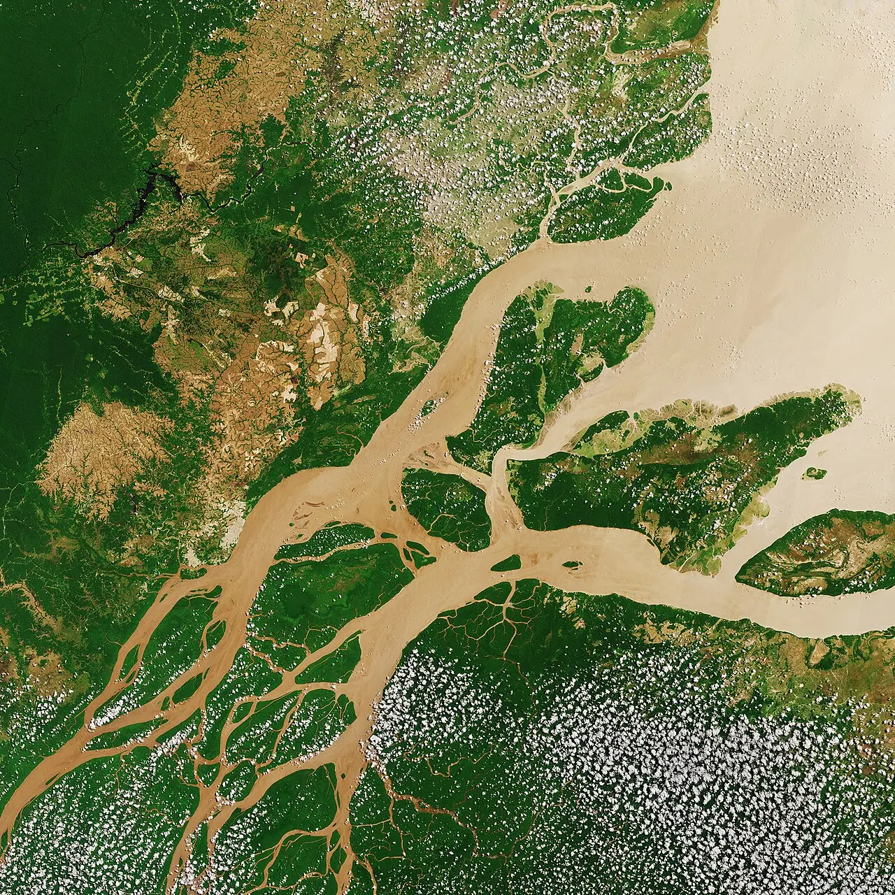
- The Amazon builds no classic delta: its sediment is carried out to sea and spread along the coasts of northern Brazil and the Guianas.
The Amazon is the biggest river on Earth by a huge margin. On average it pours between about 215,000 and 230,000 cubic meters of water into the Atlantic every second, some five times the flow of the Congo, and accounts for roughly 15 to 20 percent of all the river water reaching the world's oceans. Whether it is also the longest river is a different question, and an open one. The Amazon and the Nile are close enough that the winner depends on where you decide each river begins and ends.
How much water does the Amazon carry?
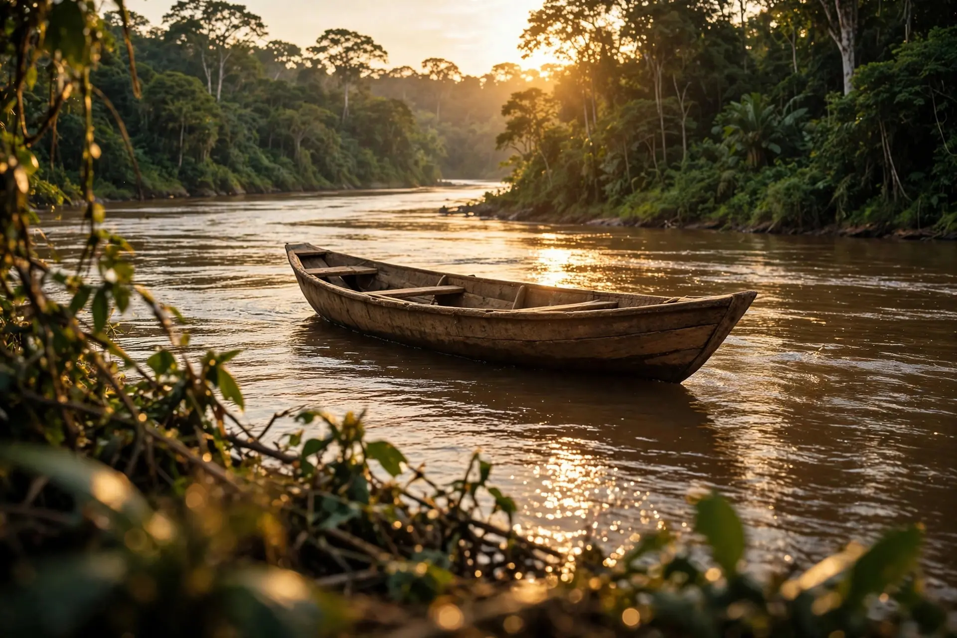
More than the usual tools of river science were built to handle. Its basin drains about 38 percent of continental South America. The Mississippi, North America's giant, carries roughly a twelfth as much water. The first precise numbers came only in the 1960s. In July 1963 a team from the US Geological Survey, working with the University of Brazil and the Brazilian Navy, set out to gauge the river at Óbidos, about 640 kilometers (400 miles) upstream of the mouth. Hydrologists usually take such measurements from bridges or cable-suspended cars. The Amazon offered neither, so the team turned a navy vessel into a floating base, divided the river's width into 20 to 24 verticals, and measured the flow through each one. At high water that July they recorded about 216,000 cubic meters per second (7.64 million cubic feet per second) at Óbidos. They also found places at least 90 meters (300 ft) deep, putting the riverbed far below sea level. Even the river's lowest known flow there is larger than the Mississippi's greatest known flood. The bridges are still missing. No bridge spans the Amazon's main stem today. Most of the river runs through thinly populated rainforest where boats already do the job, and in 2022 Walter Kaufmann, a structural engineer at ETH Zurich, told Live Science there was "no sufficiently pressing need" for one.
Where does the Amazon begin?
A river's source sounds like something you could photograph. In practice it is a matter of definition. The rule National Geographic cites picks the most distant point on the river's longest tributary that flows continuously. Change the rule and the source moves.
For much of the 1700s the Marañón was treated as the main branch, a view championed by the Jesuit missionary Samuel Fritz, whose 1707 map identified Lago Lauricocha, a small lake high in the Andes of central Peru, as "the actual source". During the 20th century, geographers concluded that the Ucayali, fed by the Apurímac, was the longer branch. In 1969 the Peruvian geographer Carlos Peñaherrera del Águila traced the Apurímac to the Carhuasanta stream on Nevado Mismi in southern Peru, and in 1971 Loren McIntyre, leading a National Geographic expedition, named Mismi as the Amazon's ultimate source. Even that answer was fuzzy. A Smithsonian GPS survey around the turn of the millennium found that the Carhuasanta and a neighboring stream, the Apacheta, were similar in size, and the Apacheta was sometimes the longer of the two. Then, in 2014, the kayaker James "Rocky" Contos and the anthropologist Nicholas Tripcevich of the University of California, Berkeley, argued in the journal Area that the most distant source lies elsewhere: in the Cordillera Rumi Cruz, at about 5,220 meters, at the head of the Mantaro River. The Mantaro's tight twists hide its true length on a map, and their route adds 75 to 92 kilometers to the river's maximum length. The catch is that a stretch of the Mantaro runs dry for about five months a year, because a dam built in 1974 diverts its water around one of those bends. As the geographer Andrew Johnston, who worked on the Smithsonian survey, put it, "the method you use dictates the result."
Where does the Amazon end?
The other end is no easier. The Amazon does not finish at a tidy point on the coast but widens into a vast estuary divided by the island of Marajó, so anyone measuring it must decide which channel to follow and where river ends and sea begins. Those choices alone can move the total.
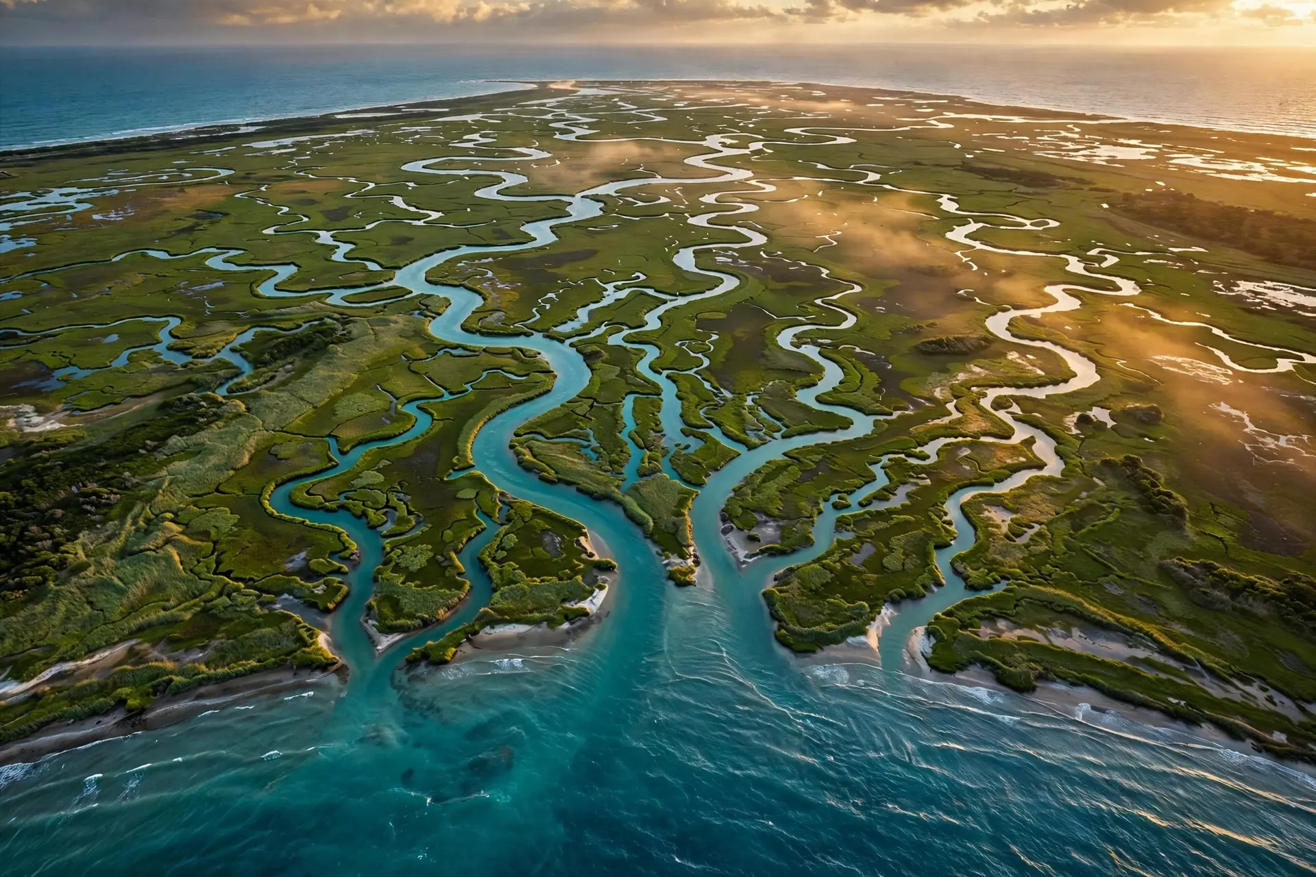
The river's power blurs the boundary further. Tides reach far up its lower course, and in the channel north of Marajó a tidal bore that Brazilians call the pororoca can surge upstream at 16 to 24 kilometers an hour (10 to 15 mph) as a breaking wall of water a meter or more high. Unlike the Nile, the Amazon builds no classic delta. Its discharge is strong enough to carry its sediment well out to sea, where currents spread it along the coasts of northern Brazil and the Guianas, a contrast explored in our piece on how river deltas form. In the flood season its muddy plume can be seen about 160 kilometers offshore. Even the name changes along the way. In Brazil the main stream above Manaus is called the Solimões, and it becomes the Amazonas only below its junction with the dark Rio Negro. Which stretch counts as "the Amazon" is partly a matter of convention.
So is the Amazon longer than the Nile?
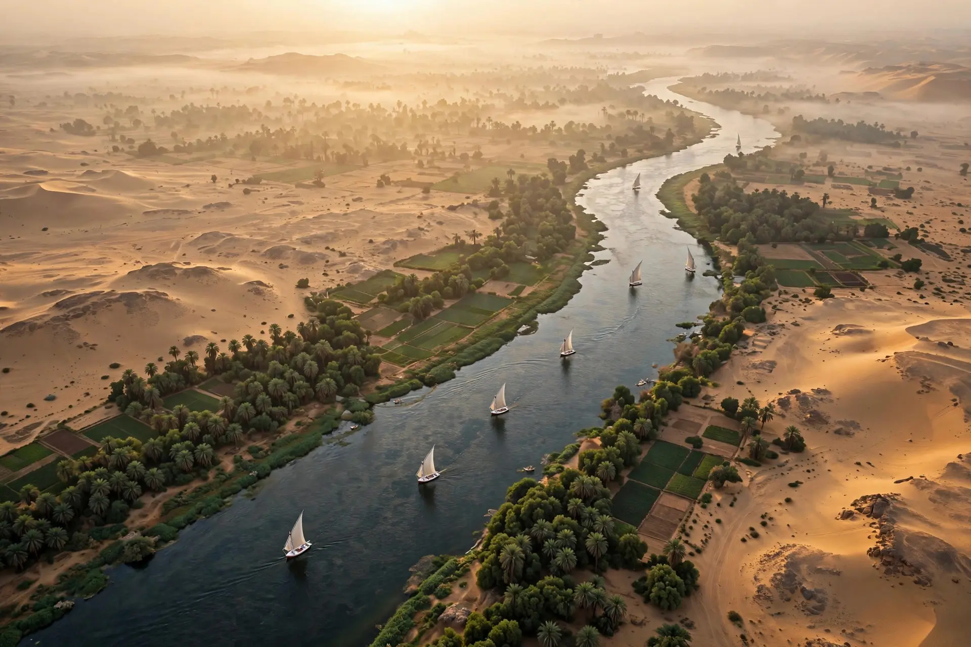
On the standard reference figures, the Nile wins. The US Geological Survey lists the Nile at 4,132 miles (about 6,650 kilometers) and the Amazon at 4,000 miles (about 6,437 kilometers). Yet measurements that start at the Mantaro and follow the Amazon's longest route to the Atlantic can close that gap. Measured that way, the Amazon may even edge past the Nile, though no survey has settled the question. The Nile has its own disputes over which headwater stream deserves the title, and both rivers change length on their own. Lowland rivers swing into loops that eventually pinch off and shorten the channel, as our explainer on why rivers meander describes. Map detail matters too: trace every small bend and a river grows, smooth the line and it shrinks. When two rivers more than 6,000 kilometers long differ by only a few percent, choices like these can decide the result. The Amazon has not even existed in its present form for long, geologically speaking. Exploration wells in the Foz do Amazonas Basin off northern Brazil show that a river crossing the whole continent began delivering sediment to the Atlantic only about 11 to 12 million years ago, as the rise of the Andes kept rearranging the region's drainage. So the Amazon is unquestionably the biggest river on Earth and arguably the longest. Its flow was first pinned down from the deck of a navy ship in 1963. Its length still turns on choices no instrument can make: which trickle in the Andes is the source, which channel through the estuary is the mouth, and how finely to trace the bends in between. Even its fertility is partly imported, since NASA estimates that dust blown across the Atlantic from the Sahara delivers about 22,000 metric tons of phosphorus to the Amazon basin every year.
Frequently asked questions
Is the Amazon longer than the Nile?
It depends on the definitions used. Standard reference figures give the Nile more length, but measurements that start at the Mantaro River and take the Amazon's longest route to the Atlantic may put it slightly ahead.
How much water does the Amazon carry?
On average between about 215,000 and 230,000 cubic meters of water a second, about five times the Congo's flow and some 15 to 20 percent of all river water entering the world's oceans.
Where does the Amazon River start?
From the early 1970s the accepted source was Nevado Mismi in southern Peru, at the head of the Apurímac. A 2014 study argued for the headwaters of the Mantaro River in the Cordillera Rumi Cruz instead.
Why are there no bridges over the Amazon?
Most of the river runs through thinly populated rainforest where boats already serve local needs, and engineers say there has been no pressing need to justify a costly crossing of the main stem.
Sources
- Amazon River investigations, reconnaissance measurements of July 1963, U.S. Geological Survey
- Correct placement of the most distant source of the Amazon River in the Mantaro River drainage, Area (Contos & Tripcevich, 2014)
- Amazon River Spills into the Atlantic Ocean, NOAA NESDIS
- Scientists Are Still Arguing Over the Source of the Mighty Amazon River, World Magazine (Discover)
- Rivers of the World: World’s Longest Rivers, U.S. Geological Survey
- Pororoca, Britannica