Point Roberts: A US Town Reachable by Land Only Via Canada
Point Roberts is a 4.9-square-mile American town reachable by land only through Canada, a quirk left by the 1846 Oregon Treaty drawing the 49th parallel.
Key takeaways
- Point Roberts, Washington, is a 4.9-square-mile American exclave on Canada's Tsawwassen Peninsula, reachable by land only through British Columbia.
- The 1846 Oregon Treaty drew the border along the 49th parallel, not noticing the peninsula's tip dipped south of the line.
- George Vancouver named it in 1792 for his friend Henry Roberts, after Spanish explorers first charted it in 1791.
- The 2000 census counted 1,308 residents; the population more than triples in summer, and Canadians own nearly half the property.
- Students were bused 25 miles to Blaine after the grade school closed in 1963; a K-2 school reopened in 1992.
Point Roberts, Washington, is a 4.9-square-mile piece of the United States hanging off the southern tip of Canada's Tsawwassen Peninsula. It belongs to America, but you can only reach it by land by driving through British Columbia. The 1846 Oregon Treaty drew the border along the 49th parallel without noticing that the peninsula's tip dipped south of the line, and the town has been an exclave ever since.
- Point Roberts is a 4.9-square-mile unincorporated American exclave on the southern part of Canada's Tsawwassen Peninsula, not physically connected to the rest of the United States. (HistoryLink.org)
- Reaching it takes a 14-mile boat trip from the border crossing at Blaine, or a drive nearly twice that far through Canada. (HistoryLink.org)
- The 1846 Oregon Treaty set the 49th parallel as the boundary from the Strait of Georgia to the Continental Divide, with an exception for Vancouver Island, which became entirely British. (HistoryLink.org)
- In 1791 Spanish explorer Francisco Eliza mistook it for an island and named it Isla de Zepeda; in 1792 George Vancouver gave it its present name for his friend Henry Roberts. (HistoryLink.org)
- The only authorized land access between Point Roberts and Canada is the Tyee Street port, and visitors can reach the point within 45 minutes from downtown Vancouver. (Missed History)
- The 2000 census counted 1,308 residents; more recent accounts put the year-round population around 1,200, swelling with summer vacationers. (HistoryLink.org, Missed History)
How does a town end up on the wrong side of a border?
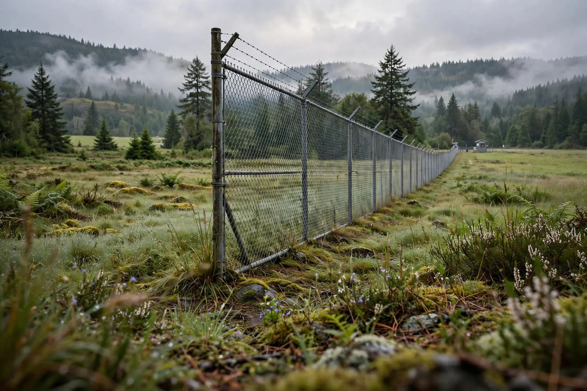
By straight-line diplomacy. The Oregon Treaty partitioned the Oregon Country between Britain and the United States along the 49th parallel, ignoring the geography west of the Rockies. Nobody at the table had surveyed the Tsawwassen Peninsula closely enough to notice that its southern tip juts below the line. The result is a pene-exclave: a piece of US territory you can only reach by land through another country. (The 49th parallel border runs straight for hundreds of miles, and Point Roberts is the one place where the land itself refused to cooperate.) There has been occasional talk of making Point Roberts part of Canada, sometimes serious, more often not, but nothing has ever come of it. The international boundary marker at the point's northwest corner was placed shortly after the boundary survey finished in 1861, and apart from the official crossing, the border is marked by little more than planted shrubs or trees.
What happened after the border was drawn?
| Year | What happened |
|---|---|
| 1791-1792 | Spanish explorers chart the point; Vancouver names it for Henry Roberts |
| 1846 | The Oregon Treaty strands the peninsula's tip on the US side of the 49th parallel |
| 1858-1859 | The Fraser River gold rush brings prospectors; the US declares a military reserve, but no troops ever come |
| 1892-1908 | The reserve is vacated; homesteading opens and a fishing town grows, including Icelandic families |
| 1917-1934 | The canneries close and Washington outlaws fish traps, ending the fishing era |
| 1953-1959 | Canadians gain the right to buy Washington land; a tunnel under the Fraser River opens the floodgates |
| 1973-1977 | Lighthouse Marine Park is dedicated and the 900-berth marina opens |
| 2000 | The census counts 1,308 residents, median age 43.2, in the "ultimate gated community" |
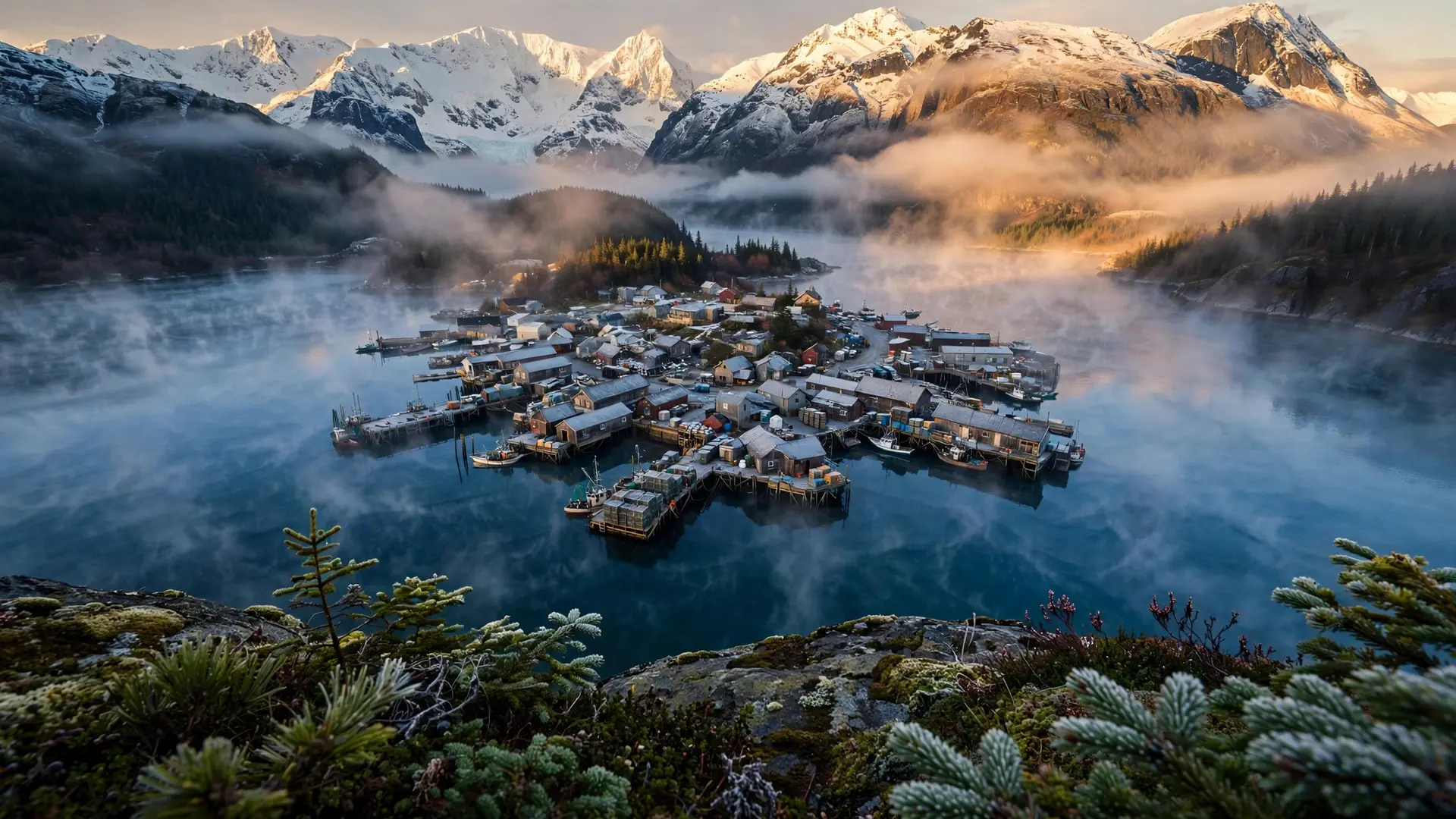
| The fishing years left the deepest marks. The Alaska Packers Association ran a cannery at Lily Point from 1894 until 1917, and fish traps offshore employed much of the town. When Washington outlawed the traps in 1934, the industry died, and poor soil finished off most farming by the 1950s. The grade school that had operated since 1893 closed in 1963, and students were bused more than 25 miles to Blaine; a school for kindergarten through second grade reopened in 1992. |
Then Canada arrived, in the nicest possible way. A 1953 state statute gave Canadians the right to buy land in Washington, and a 1959 four-lane tunnel under the Fraser River made the point an easy drive from Vancouver. By 1970 more than half the permanent residents were Canadian. The balance has eased to about 40% today, but Canadians still own nearly half the property, and the town's rhythms follow the border crossing.
What is daily life in an exclave?
Small and binational. Point Roberts has no downtown. Tyee Street is the main drag, with gas stations and an International Market Place. The speed limit signs are in miles per hour, but gas may be priced in liters, accents carry a Canadian inflection, and tellers may assume you are paying in Canadian money unless you say otherwise. Cash registers are said to have two drawers, one for each currency, updated daily for the exchange rate. The quirks have real costs. About 80% of residents carry NEXUS cards to speed the crossing, and post-9/11 security made every trip more complex. When the border closed during the pandemic, the town lost an estimated 80% of its business, a reminder that an exclave's economy is only as open as its neighbor allows. Yet the same isolation made it the "safest place" during COVID-19, with no cases reported by September 2020. The corners of the point tell its story in miniature: Lighthouse Marine Park on the 21-acre southwestern tip, the 1861 boundary marker at the northwest, Maple Beach stretching half a mile into Boundary Bay at low tide at the northeast, and Lily Point's 200-foot cliff and cannery ruins at the southeast. Downtown Vancouver's high-rises are barely 20 miles away, visible across the water, in a country you have to drive through to get home. Exclaves are rare, and America's northern border has produced two of the most famous: Point Roberts and Minnesota's Northwest Angle, both born of 19th-century mapmaking. For the European counterpart, Kaliningrad is Russia's much larger exclave on the Baltic. Point Roberts remains the smallest and friendliest of the breed: a beach town that happens to be in the wrong country, or exactly the right one, depending on which side of the shrubs you stand. How we made this article: FactSpire researched and drafted it with AI assistance and checked every fact against the sources listed above.
Frequently asked questions
How do you get to Point Roberts?
By land, you drive through Canada: it takes about 45 minutes from downtown Vancouver. By water, it is a 14-mile boat trip from the border crossing at Blaine, Washington. The only authorized land crossing is the Point Roberts-Boundary Bay port on Tyee Street, so every land trip means clearing customs twice, once into Canada and once back into the United States.
Why does Point Roberts belong to the US?
Because of the 1846 Oregon Treaty, which set the US-Canada border along the 49th parallel from the Strait of Georgia to the Continental Divide. The negotiators did not realize the southern tip of the Tsawwassen Peninsula dipped below the 49th parallel. Talk of transferring it to Canada has surfaced over the years, but it has never happened.
How many people live in Point Roberts?
The 2000 US census recorded 1,308 residents, though more recent accounts put the year-round population around 1,200. Summer vacationers more than triple the headcount. The median age is well above the US average, and about 40% of permanent residents are Canadian, who own nearly half the property on the point.
What is Point Roberts like day to day?
A small recreational community where Canadian influence is everywhere: gas prices may be listed in liters, shopkeepers may assume Canadian money, and cash registers often have two currency drawers. There is no downtown; Tyee Street is the main drag. Residents call it the ultimate gated community, thanks to the border crossing and a remarkably low crime rate.
Sources
- Point Roberts -- Thumbnail History, HistoryLink.org
- There's a Part of the US That's Only Accessible Through Canada, Missed History
- A Square Peg: The Lessons of the Point Roberts Reference, 1971-1977, University of Calgary Press