Why Does the US-Canada Border Follow the 49th Parallel?
The US-Canada border runs straight along the 49th parallel for thousands of kilometres. It is there because two governments chose a line of latitude over war.
Key takeaways
- The 49th parallel became the US-Canada border in two stages: the Convention of 1818 east of the Rockies and the Oregon Treaty of 1846 west of them.
- The line was a compromise: American expansionists demanded territory up to 54°40′, but neither side wanted a third Anglo-American war.
- West of the Rockies, the two nations shared the Oregon Country under joint occupation for nearly three decades before dividing it.
- The line bends at the Pacific coast, dipping around Vancouver Island's southern tip through the Strait of Juan de Fuca.
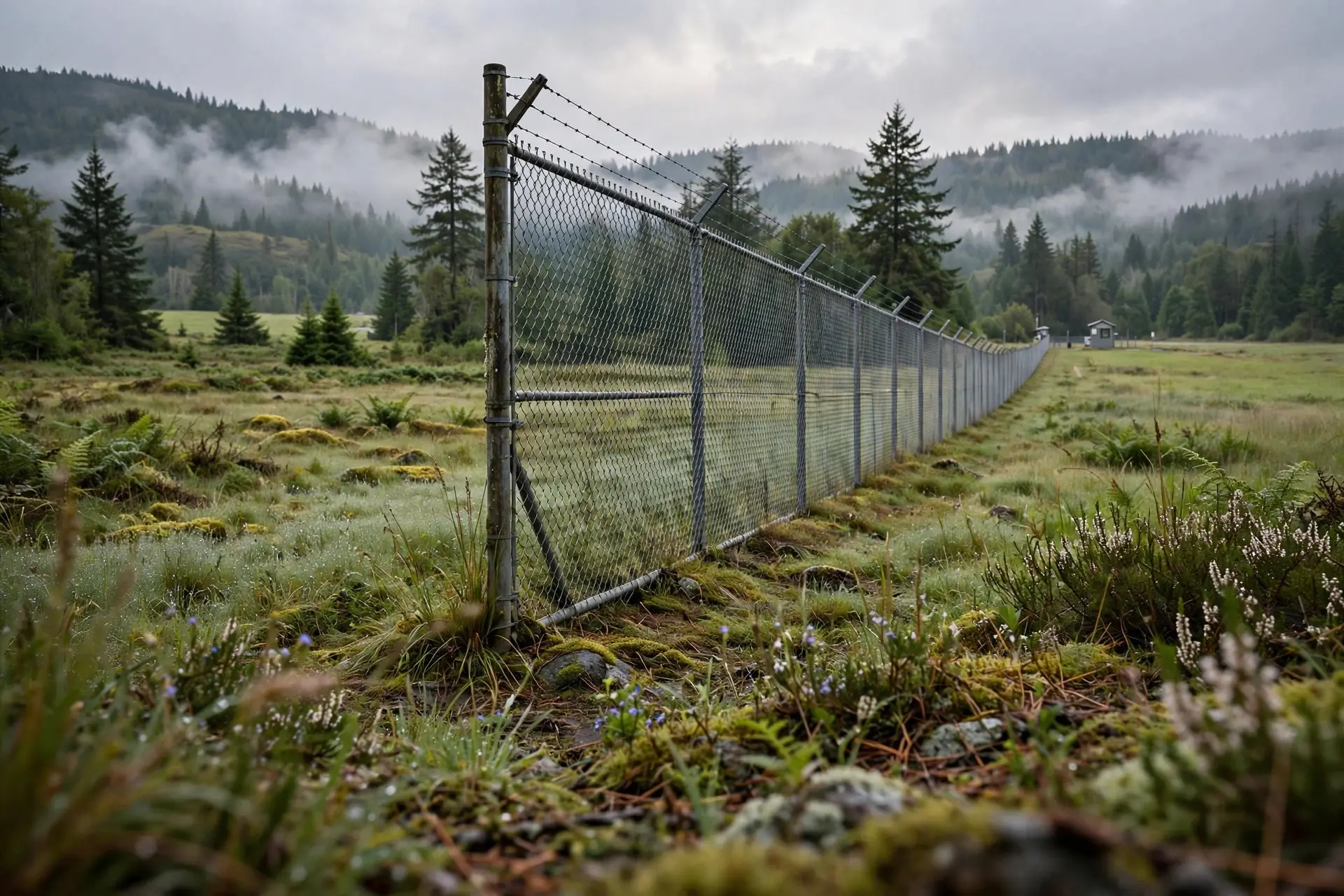
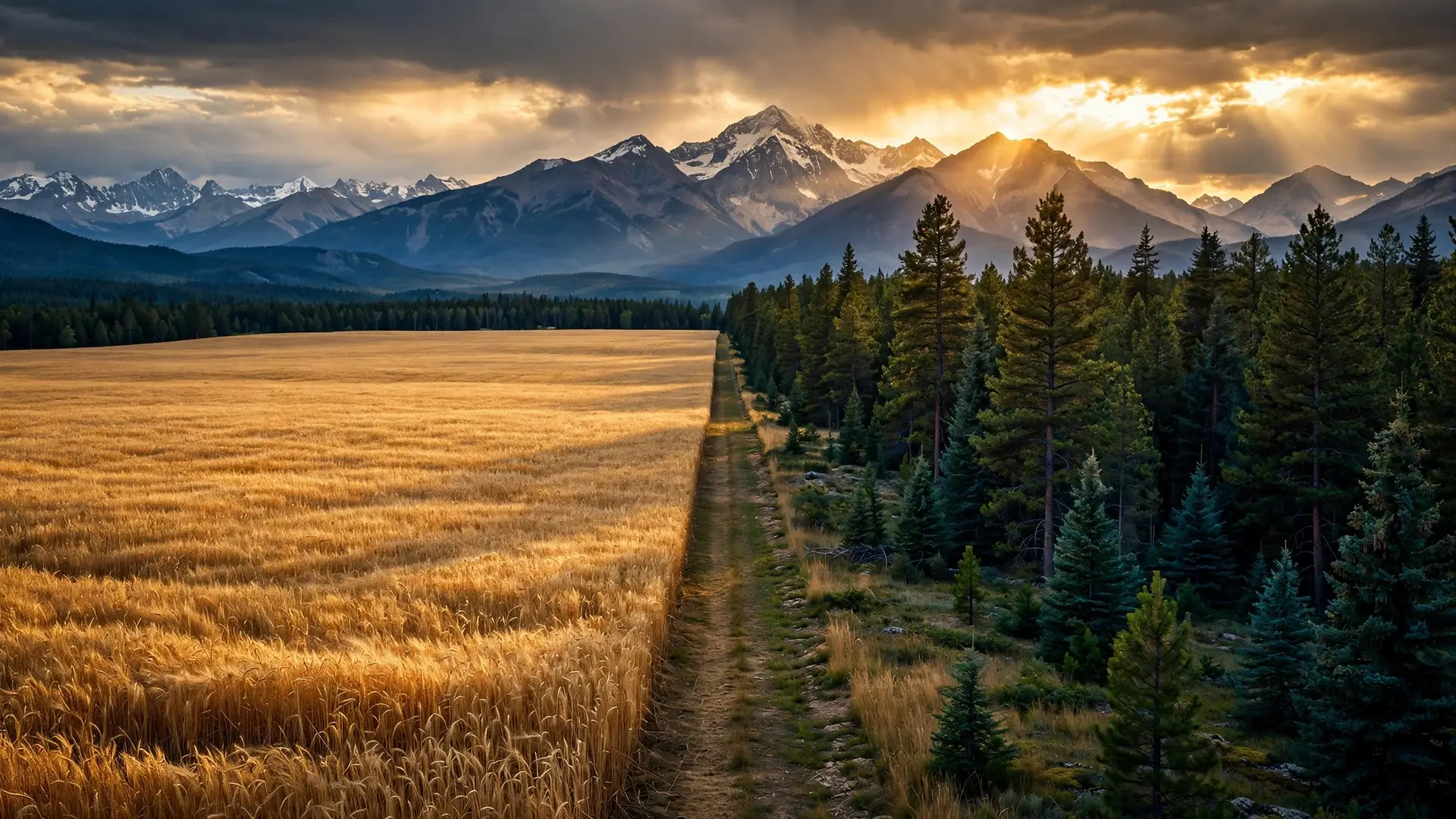
Drive across the prairies between the United States and Canada and the border is almost comically abstract: a line of latitude, invisible on the ground, that runs ruler-straight for thousands of kilometres. The US-Canada border follows the 49th parallel not because of any mountain, river or natural feature, but because two governments, twice in thirty years, chose a line on a chart over a war over land they had barely mapped. The parallel was not chosen in a single moment. It was laid down in two treaties, a generation apart, and each time it was the compromise that survived when every more ambitious claim collapsed.
What did the Convention of 1818 decide?
The first stretch of the line dates to the aftermath of the War of 1812. In a treaty signed at London on 20 October 1818, Britain and the United States agreed that, from the Lake of the Woods westward to the Rocky Mountains — then called the Stony Mountains — the boundary would be the forty-ninth parallel of north latitude. The line settled the northern edge of the Louisiana Purchase, giving the young republic a clean northern limit across the plains. West of the Rockies, the two sides could not agree, so they agreed to disagree — formally. The treaty left the Pacific Northwest, then known as the Oregon Country, open to the vessels, citizens and subjects of both powers for ten years, without prejudicing either side's claim. That joint occupation was later extended, first for another ten years in 1827, and the arrangement held, uneasily, for nearly three decades. Neither country owned Oregon; both used it. The British presence was centred on the Hudson's Bay Company fur trade, while American settlers began arriving in growing numbers along the Oregon Trail in the early 1840s.
This is the key to understanding the 49th parallel: it was never a line drawn to fit the land. It was a line drawn to fit a negotiation. A parallel of latitude needs no surveyors on the ground, no agreement about which branch of a river counts, and no knowledge of what lies between the endpoints. For two governments dividing a continent they had only partly explored, that simplicity was the point.
Why did the Oregon Treaty of 1846 stop at the 49th?
By the 1840s the joint occupation was breaking down. American migration along the Oregon Trail had turned a fur traders' frontier into a settlers' frontier, and expansionist feeling in the United States demanded the whole Oregon Country — all the way to 54°40′, the southern boundary of Russian territory in Alaska. In the 1844 presidential election, James K. Polk campaigned under the slogan "Fifty-four forty or fight," promising to bring a large part of present-day British Columbia and Alberta into the United States. Neither side, in the end, wanted a third Anglo-American war, and Britain had no appetite for a North American conflict over a distant Pacific coastline. On 15 June 1846, the Oregon Treaty settled the dispute peacefully: the boundary was extended west along the 49th parallel from the Rockies to the Strait of Georgia, and then through the Strait of Juan de Fuca to the Pacific Ocean. Everything south of the line went to the United States — the future states of Oregon, Washington, Idaho and part of Montana — while Britain kept everything to the north, including all of Vancouver Island and navigation rights on part of the Columbia River. The choice of the 49th was, in a sense, already familiar. The parallel had been proposed in various forms in the negotiations of the 1820s, and it had become the natural fallback — the line both sides had lived with for a generation east of the Rockies. The 1846 treaty simply carried that familiar line to the sea, with one deliberate exception: rather than slicing Vancouver Island in two, the boundary dipped around the island's southern tip, keeping it whole under British rule.
Where does the straight line break down?
That Pacific bend is where the tidy geometry of the 49th parallel starts to fray — and where the story gets its best anecdote. The Oregon Treaty left the water boundary vague, saying only that it would run through the middle of the channel separating Vancouver Island from the mainland. There were two plausible channels, the Haro Strait and the Rosario Strait, and the San Juan Islands between them were quickly claimed by both sides. The dispute came to a head in 1859 in the episode remembered as the Pig War, when a pig belonging to the Hudson's Bay Company wandered into an American farmer's crops and was shot. The farmer's neighbour's pig became an international incident: the American general William Harney sent more than sixty soldiers to San Juan Island to assert American sovereignty, and the governor of Vancouver Island, James Douglas, answered with British warships. Both sides then occupied the islands, without ever exchanging fire, until the standoff was submitted to arbitration. In 1872, the German Emperor Wilhelm I ruled that the San Juan Islands belonged to the United States, fixing the border through the Haro Strait — the line that still separates British Columbia from Washington State in those waters today. The lesson of the 49th parallel is not that straight lines make good borders. Elsewhere on the planet, straight-line borders drawn by distant governments have cut through peoples, watersheds and ecosystems with lasting damage, from the islands split by the Date Line to the tangled enclaves of Baarle. The 49th parallel worked, by contrast, because it divided a sparsely settled frontier between two governments that were determined not to fight over it — and because, crucially, both sides accepted the same simple rule. It endures as a peaceful border not because latitude lines are wise, but because the two countries behind this one decided, twice, that a compromise line on a map was better than a war over the land beneath it. From the Lake of the Woods to the Pacific, the 49th parallel endures as a monument to that decision: a border that is perfectly straight, almost entirely arbitrary, and — for nearly two centuries — entirely peaceful.
Frequently asked questions
What exactly is the 49th parallel?
It is the circle of latitude 49 degrees north of the equator. As a border, it runs from the Lake of the Woods in Minnesota westward to the Rocky Mountains, and then again from the Rockies to the Pacific coast.
Why didn't the border follow a river or mountain range instead?
Because a line of latitude was the one formula both sides could accept without knowing the terrain. In 1818 and 1846, much of the interior was barely mapped by either government, so a parallel drawn on a chart was simpler and less disputable than a river whose course was uncertain.
What was 'Fifty-four forty or fight'?
It was the slogan of American expansionists in the 1844 election, demanding the whole Oregon Country up to latitude 54°40′, the southern boundary of Russian Alaska. President James K. Polk compromised at the 49th parallel instead.
Does the border follow the 49th parallel all the way to the Pacific?
Almost, but not quite. The Oregon Treaty took the line to the Strait of Georgia and then through the Strait of Juan de Fuca, keeping all of Vancouver Island British — a bend that later sparked the Pig War dispute over the San Juan Islands.
Sources
- Historical Documents — Historical Note, 1818 to 1846, US Department of State, Office of the Historian
- 1846 — 49th Parallel Becomes International Boundary, Legislative Assembly of British Columbia
- Oregon Treaty of 1846 National Historic Event, Parks Canada
- U.S.-Canadian border established west of the Rocky Mountains, HISTORY