Why Australia Is a Country AND a Continent (Not an Island)
Australia is the only landmass that's both a continent and a country. Discover the ice-age supercontinent Sahul — and why it's not counted as an island.
Key takeaways
- Australia is the only place on Earth that is both a continent and a sovereign country, because one nation covers nearly the entire continental landmass.
- At roughly 7.69 million square kilometres, Australia is the smallest continent, covering about 5% of Earth's land surface.
- During the last ice age, mainland Australia, Tasmania, and New Guinea were joined into one landmass called Sahul, which broke apart as seas rose.
- Aboriginal oral traditions describing drowned coastlines have been verified against the geological record, stretching back more than 12,000 years.
- Oceania is a broader regional term that includes New Zealand, Papua New Guinea, and the Pacific island nations — it is not a continent itself.
Yes: Australia is both a continent and a country, and it is the only place on Earth where a single sovereign nation covers almost an entire continent. The two meanings share one name for different reasons — "continent" describes the landmass, "country" describes the political entity that federated on it in 1901. But the short answer hides a stranger story: twenty thousand years ago, you could walk from Melbourne to Papua New Guinea without getting your feet wet.
Why is Australia both a country and a continent?
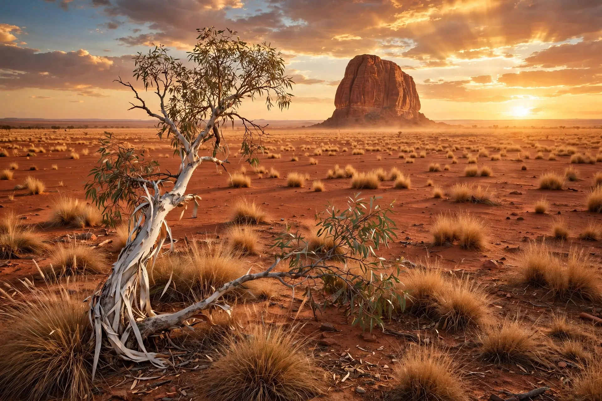
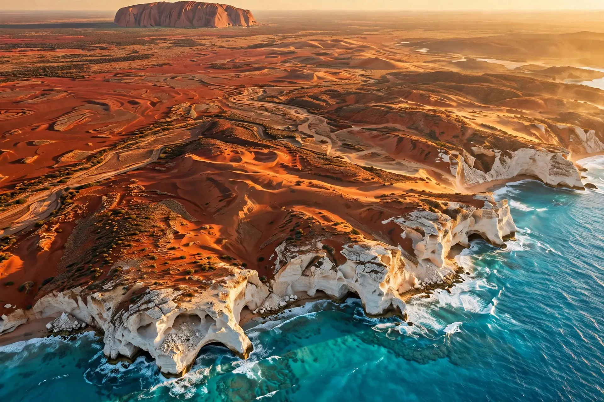
The confusion starts with the fact that two completely different systems of naming happened to land on the same word. A continent is a geographical category — a very large landmass, defined by size and geological distinctness. A country is a political category — a sovereign state with recognized borders and a government. Australia qualifies on both counts at once: it is the smallest of the seven traditionally recognized continents, and it is the Commonwealth of Australia, a nation that occupies essentially the whole of that landmass, plus Tasmania and a handful of island territories. No other country on the planet does this. France occupies part of Europe, Brazil part of South America — but the entire Commonwealth of Australia sits within the Australian continent and shares it with no other nation. That is why geography textbooks coined the shorthand "country and continent." It is not a technical rule; it is a description of a coincidence that happened only once. The broader regional term that often gets mixed into this is Oceania — the geopolitical grouping that includes New Zealand, Papua New Guinea, and the Pacific island nations of Melanesia, Micronesia, and Polynesia. Oceania is a region, not a continent, and Australia is simply its largest member.
When could you walk from Australia to New Guinea?
If you draw the map of Australia today, Tasmania and New Guinea sit as separate islands. But this arrangement is a recent development — recent, at least, by geological standards. During the last glacial period, around 20,000 years ago, so much of the world's water was locked up in glaciers and ice caps that global sea levels sat about 125 metres lower than today. That missing water exposed vast areas of seabed. Mainland Australia, Tasmania, and New Guinea were joined into a single continuous landmass that geologists call Sahul. People and animals moved across it on foot. Aboriginal peoples had lived in Sahul for tens of thousands of years by this point, crossing into it from Southeast Asia via land bridges and short sea crossings when seas were low. Then the ice melted. As waters rose over roughly 10,000 years, they began drowning the low plains. The connection to New Guinea went under first — the Torres Strait flooded around 8,000 years ago. The link to Tasmania, known as the Bassian Land Bridge, narrowed slowly: by about 12,000 years ago it had shrunk to a strip just five kilometres wide, and within a few centuries after that it was gone entirely. Tasmania became an island, and its people — the Palawa — became separated from the mainland for more than twelve millennia. So when we say "Australia the continent," we are naming a landmass whose edges have been drawn by rising seas, not by any permanent law of nature. The coastline you see today is simply a snapshot.
How do Aboriginal oral traditions remember the rising seas?
Here is where the story turns from geology into something more remarkable. Palawa traditions — handed down orally, generation after generation — described ancestors coming down from the north across a wide plain, ice in the south melting, and the sea rising until their peninsula was sealed off as an island. In 2023, researchers compared these traditions against two independent natural records: the seabed mapping of Bass Strait and the position of a great southern star described in the stories. Both lined up at a minimum of around twelve thousand years ago. A memory of deglaciation — the exact process that ended the last ice age — preserved for roughly four hundred unbroken generations, without writing. These rank among the oldest verified oral histories on Earth, older than agriculture, older than the pyramids.
This matters for the country-and-continent question in a quiet way: the political country of Australia is 125 years old, federated in 1901. The human story on the continent stretches back 65,000 years, and its people watched the continent's shape change in real time.
Is Australia really the smallest continent?
At roughly 7.69 million square kilometres — about 5% of Earth's land surface — Australia is the smallest of the seven continents by the standard model. It is also the sixth-largest country in the world, the lowest, flattest, and oldest landmass, and (after Antarctica) the driest continent. Much of its interior is arid, while tropical and temperate coastal fringes sustain more than 80% endemic species — kangaroos, koalas, and wombats among them — thanks to tens of millions of years of isolation. There is, however, a challenger on the horizon: Zealandia, a largely submerged continental mass south and east of New Zealand, covering about 4.9 million square kilometres. Scientists proposed it as a potential eighth continent in 2017. If Zealandia were ever formally accepted, Australia would lose its smallest-continent title — but it would keep its country-continent double act regardless, since Zealandia is almost entirely underwater. And Greenland? The world's largest island, at about 2.17 million square kilometres, stays an island only by convention: it is large enough to qualify, but Australia — which would otherwise take that title — is already classified as a continent. So "island" and "continent" are labels humans apply, not categories the planet drew for us. Australia's dual identity is therefore less a mystery than a mirror: it shows us that our map categories are agreements, not discoveries. The land beneath them is far older than the names — and for a long, human stretch of its history, it was not even one continent at all, but a greater Sahul you could cross on foot. Want to keep going? The island-versus-continent line explains why Greenland kept the island title, the Great Barrier Reef rings the continent's northeastern edge, and the Sahara is its northern-hemisphere desert counterpart.
Frequently asked questions
Is Australia a country, a continent, or both?
Both. Australia is the name of the continent — the smallest of the seven — and also the name of the sovereign country, the Commonwealth of Australia, that covers nearly all of it. No other country in the world spans a whole continent.
What was Sahul?
Sahul was the single landmass formed by mainland Australia, Tasmania, and New Guinea during the last ice age, when seas sat roughly 125 metres lower. As the ice melted, rising water drowned the land bridges — Bass Strait about 12,000 years ago and the Torres Strait connection to New Guinea roughly 8,000 years ago.
Why is Australia not counted as an island?
It is a matter of convention, not physics. A continent is defined as a very large landmass, and Australia at 7.69 million square kilometres clears that bar — so by the same convention that makes Greenland the world's largest island, Australia is a continent.
Sources
- Australia, Shaded Relief and Colored Height, NASA Earth Observatory
- Australia's coastal living is at risk from sea level rise, but it's happened before, UNSW Sydney
- Tasmanian Aboriginal oral traditions among the oldest recorded narratives in the world, University of Tasmania
- Federation, National Archives of Australia
- Greenland, Encyclopaedia Britannica