Why Is Lesotho Completely Surrounded by South Africa?
Lesotho is an island of mountains inside South Africa, and that is no accident. A mountain king, a lost lowland and a plea to Queen Victoria drew its borders.
Key takeaways
- Lesotho is completely encircled by South Africa, a border drawn by war and treaty rather than by geography alone.
- King Moshoeshoe I built the Basotho nation from refugees gathered at the mountain fortress of Thaba Bosiu from 1824.
- After losing most of its farmland west of the Caledon River, the kingdom sought British protection and was annexed in 1868.
- Lesotho stayed outside the Union of South Africa in 1910 and became independent as the Kingdom of Lesotho on 4 October 1966.
Lesotho is completely surrounded by South Africa — every road out of the country crosses into its giant neighbour, and no other nation touches its border. Yet Lesotho is not a province, a colony or a breakaway region. It is a sovereign kingdom, and its strange position on the map is the result of a deliberate 19th-century bargain: a mountain king who traded land and independence for survival, and a people who refused, for more than a century, to be absorbed. The short answer is that Lesotho is an enclave because its founders chose the mountains over the plains, and then chose British protection over conquest. The long answer is one of the great survival stories in African history.
How did a mountain fortress become a nation?
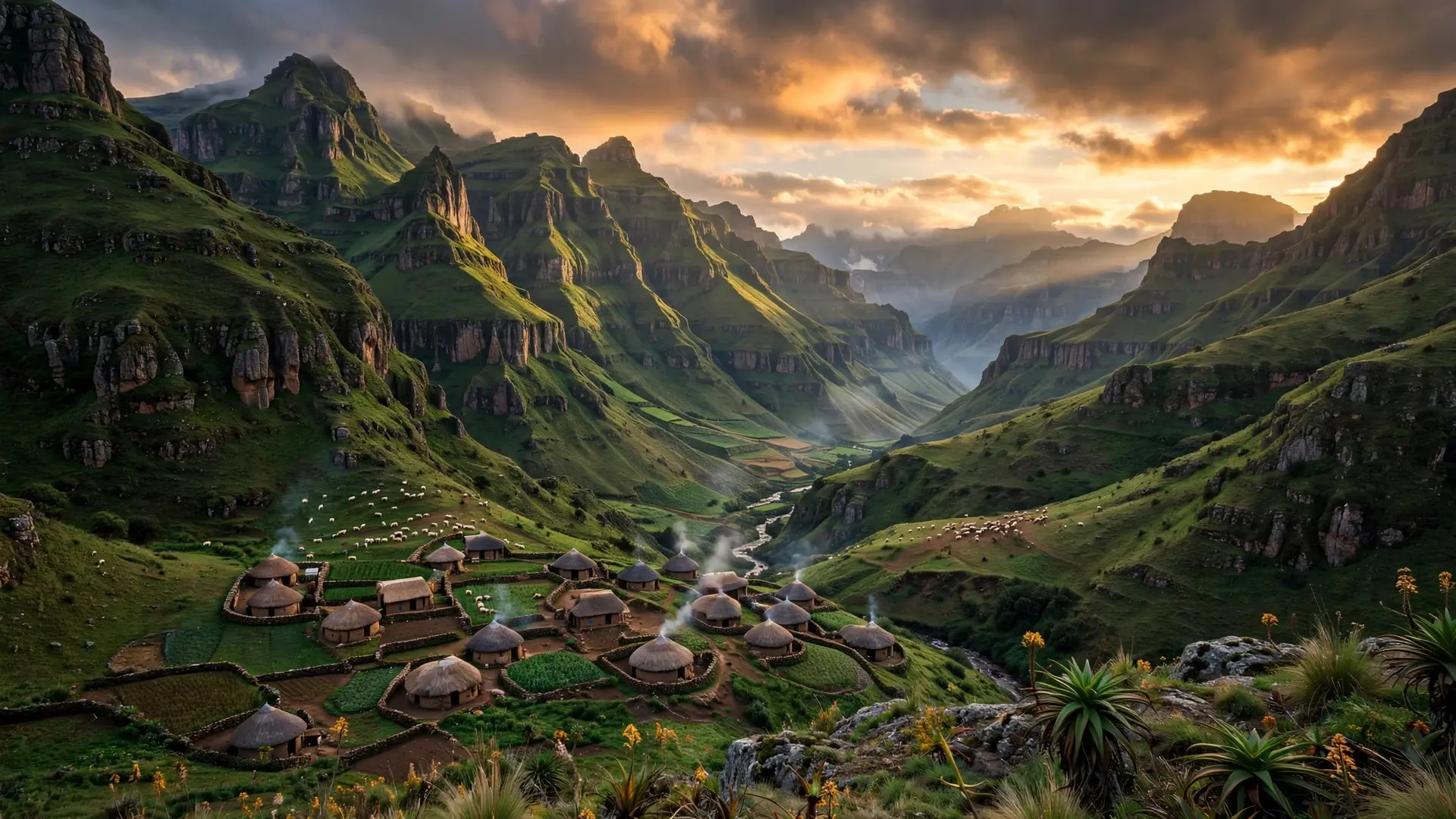
The story begins in the turmoil of the 1820s, when violent upheavals known as the Difaqane scattered chiefdoms across southern Africa. In 1824, a chief named Moshoeshoe I occupied Thaba Bosiu, a steep-sided, flat-topped plateau about 23 kilometres south-east of present-day Maseru. Rising roughly 120 metres above the surrounding country and ringed with cliffs, it was a natural fortress, reachable only through a handful of steep passes, with pasture and springs on its summit that could sustain a long siege. Thaba Bosiu became a refuge. A steady stream of displaced people joined Moshoeshoe's followers on the mountain and in the villages around its flanks, and by the end of the decade they were beginning to call themselves the Basotho, the Sotho people. From this base Moshoeshoe built alliances with neighbouring chiefs, welcomed missionaries from the Paris Evangelical Missionary Society when they arrived in 1833, and turned a mountain stronghold into a kingdom. The fortress earned a formidable reputation: despite repeated attacks by African rivals, British troops and Boer commandos, Thaba Bosiu never fell to an enemy storming party.
That reputation mattered, because the kingdom's real test came not from rival chiefdoms but from settlers. From 1834, large numbers of Boer trekkers from the Cape Colony began settling on the western margins of the kingdom and disputing the Sotho's right to the land. The next thirty years brought repeated conflict and warfare, and the Sotho steadily lost ground. Most of their territory west of the Caledon River slipped away, and the Boers formed the Orange Free State on it. The kingdom was being pushed, year by year, up into the mountains.
Why did Moshoeshoe ask Britain to take his kingdom?
By the late 1860s the situation was desperate. Devastating wars with the Orange Free State had stripped the kingdom of its most productive farmland, and Moshoeshoe feared his people faced dispersal or even extinction. He appealed again to the British for protection, and Sir Philip Wodehouse, governor and high commissioner of the Cape Colony, annexed the kingdom to the British crown in 1868. Basutoland, as it was then called, became a British protectorate. Moshoeshoe died in 1870 and was buried on Thaba Bosiu, the mountain that had never fallen. This was the decision that made modern Lesotho an enclave. By accepting British rule, Moshoeshoe froze the border where the fighting had stopped: the Boers kept the fertile lowlands they had already seized, and the Basotho kept the mountains. The boundary drawn in the aftermath of that annexation is, in essence, still Lesotho's border today. The kingdom had lost its lowlands but kept its nationhood — a trade Moshoeshoe made with open eyes, preferring a smaller mountain country to no country at all. What followed tested that bargain repeatedly. In 1871 Basutoland was annexed to the Cape Colony without its people's consent, and attempts to disarm the Sotho led to the Gun War of 1880 to 1881. In 1884 the Cape relinquished Basutoland to direct British rule, where it joined Swaziland and Bechuanaland as one of three British High Commission Territories in southern Africa. When the Union of South Africa was created in 1910, many assumed Basutoland would eventually be folded in. The Sotho were united in opposing incorporation, fearing — correctly, as the decades of apartheid would show — that absorption would cost them their land, their institutions and their identity. Basutoland stayed out.
What does the enclave look like today?
The price of that survival is written into Lesotho's geography. Hidden among the Drakensberg, Maluti and Thaba Putsoa mountains, the country is a high, rugged land: its highest point, Thabana Ntlenyana, reaches 3,482 metres, and even its lowest point, where the Orange River meets the Makhaleng, sits at 1,400 metres above sea level. The lowlands in the west soften into foothills, but the east is steep and mountainous, and much of the country is treeless highland. Its people — almost all ethnic Sotho, speaking Sesotho and English — live largely in small rural villages, and the capital, Maseru, sits on the western edge, hard against the South African border. Dependence on the surrounding country has been the other side of the bargain. Through the 20th century, Lesotho's history was dominated by labour migration to South African mines, made necessary by taxation, population growth behind a closed border, and soil too thin to feed everyone. Yet the relationship also runs the other way: Lesotho's abundant mountain water is now one of its most valuable resources, exported to South African cities through schemes that began with the Lesotho Highlands Water Treaty of 1986. The enclave is not a one-way dependency; it is an interdependence, shaped by the same mountains that saved it. Independence finally came on 4 October 1966, when Basutoland became the Kingdom of Lesotho under King Moshoeshoe II. The country that emerged was small, mountainous and entirely wrapped in another nation's territory — but it was, crucially, its own. That is the answer to the riddle of the map: Lesotho is surrounded by South Africa because its borders were drawn at the exact line where a mountain kingdom stopped retreating and asked the world's largest empire for shelter. The mountains did the rest, holding a nation together long enough for it to outlast both the Boers who seized its lowlands and the empire that took it in. Like other places where borders defy common sense, from the unclaimed desert of Bir Tawil to the tiny city-state of the Vatican, Lesotho is proof that a border is never just a line — it is the fossil record of a bargain, a war or a refusal to disappear.
Frequently asked questions
Is Lesotho really inside South Africa?
Yes, in the sense that every metre of its border touches South Africa. But Lesotho is a fully independent country, not part of South Africa, with its own king, government and laws.
Why didn't South Africa simply absorb Lesotho?
Because Lesotho became a British protectorate in 1868 and its people consistently opposed incorporation. When the Union of South Africa was created in 1910, Basutoland stayed outside it as a separate British territory.
What is Thaba Bosiu?
Thaba Bosiu, meaning 'Mountain at Night', is the flat-topped mountain fortress where Moshoeshoe I gathered the Basotho people from 1824. It never fell to an enemy attacker, and Moshoeshoe is buried there.
What did Lesotho lose to become an enclave?
Most of its fertile lowland west of the Caledon River, taken by Boer settlers and the Orange Free State during decades of war. What remained was the mountainous heartland, which is why Lesotho today is a high, rugged country.
Sources
- History of Lesotho, Encyclopaedia Britannica
- THABA BOSIU: Unconquered fortress of the Basotho, South African Military History Society
- Lesotho, EBSCO Research Starters