Why Is the India-Bangladesh Border So Strange?
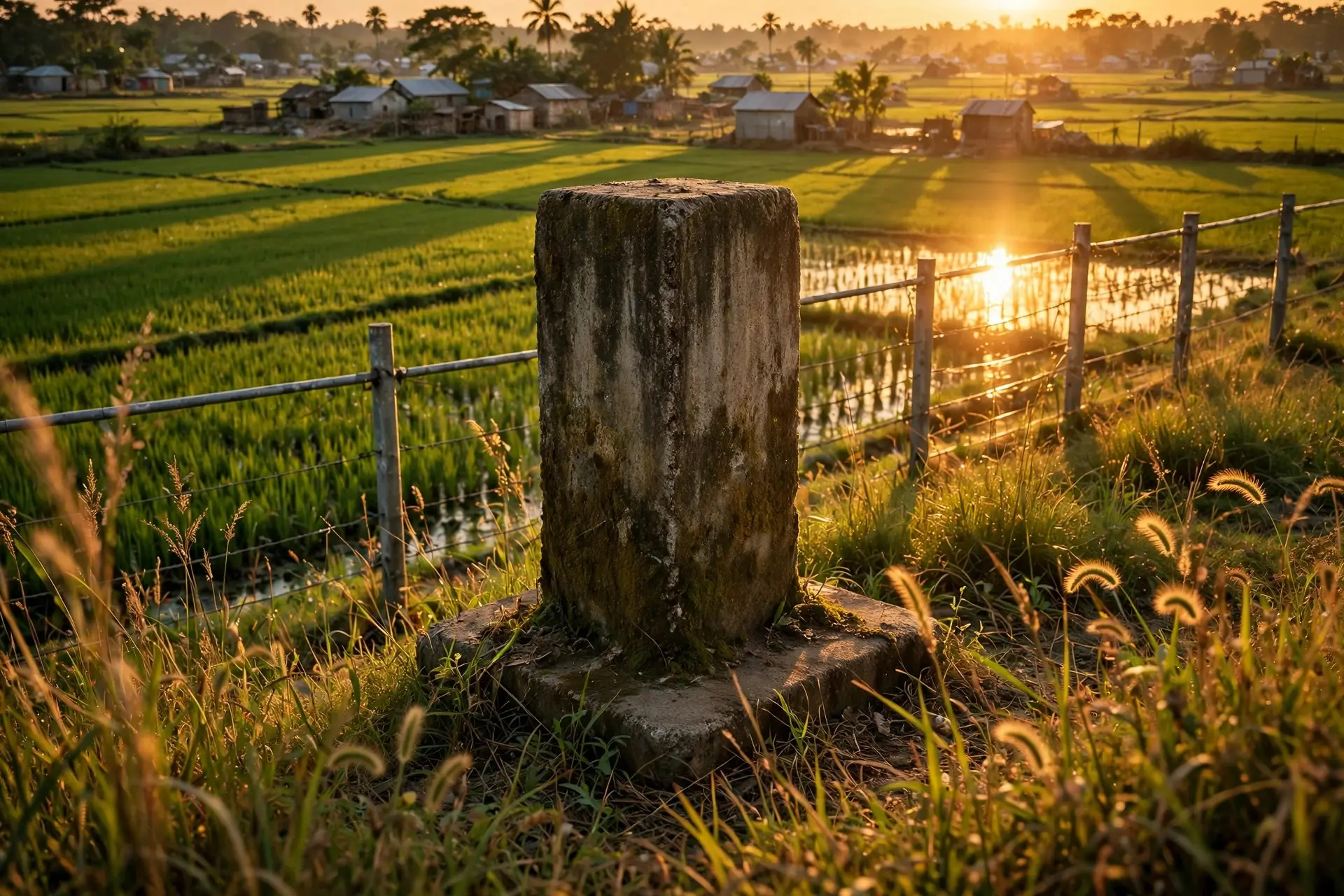
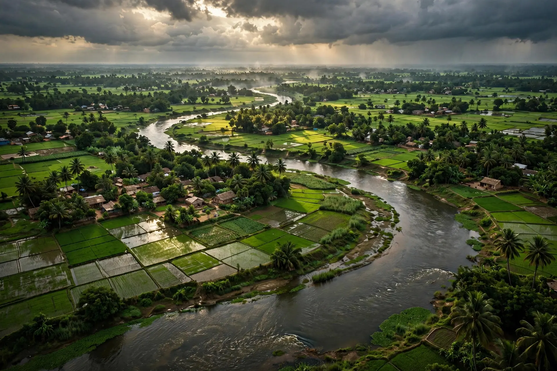
The India-Bangladesh border winds through rivers, villages and farmland, and until 2015 it held 162 enclaves. Its shape comes from old deals and partition.
Key takeaways
- Until 2015, the India-Bangladesh border held 162 enclaves: 111 Indian enclaves inside Bangladesh and 51 Bangladeshi enclaves inside India.
- The enclaves traced back to deals between local rulers in the 1700s, and the 1947 partition line left them unresolved for decades.
- The 2015 Land Boundary Agreement swapped the enclaves at midnight on 31 July 2015, and residents could stay or move.
- The Tin Bigha Corridor, leased in 1982, gave the Bangladeshi enclave of Dahagram-Angarpota a road link to the mainland.
Look at a map of the India-Bangladesh border and something feels wrong. The line does not run cleanly between two countries: it loops, doubles back and sprouts bulges, as if drawn by someone who kept changing their mind. Until recently, that impression was literally true. The border contained 162 pockets of one country entirely surrounded by the other, and the people living in them spent decades in a legal nowhere, cut off from schools, clinics, police and power lines. The border looks strange because it was never drawn once — it was drawn twice, centuries apart, and the two drawings never agreed.
Where Did 162 Enclaves Come From?
The story starts before either modern country existed, with local rulers rather than empires. Popular belief holds that the enclaves began when the Maharaja of Cooch Behar and the Foujdar of Rangpur staked each other's villages in games of chess, and while that tale is almost certainly too neat to be history, the underlying truth is documented: fragments of land changed hands between neighbouring rulers in the 1700s, creating a patchwork of holdings that ignored any neat frontier. A village might pay revenue to Cooch Behar while sitting in the middle of Rangpur's territory, and nobody saw a problem — in a world of overlapping feudal claims, that was simply how land worked. Partition turned that patchwork into an international crisis. The boundary drawn by Sir Cyril Radcliffe in 1947, based on loose maps, cut through Bengal and left the scattered plots on the wrong sides of the new line. The enclaves that had belonged to Cooch Behar but were surrounded by East Pakistan became Indian territory, while those belonging to Rangpur's landlords but surrounded by Cooch Behar became Pakistani territory. When East Pakistan became independent Bangladesh in 1971, the puzzle simply changed its name: now there were 111 Indian enclaves inside Bangladesh and 51 Bangladeshi enclaves inside India.
Life inside those pockets was defined by absence. For decades, residents had no schools, markets, medical facilities, electricity or police stations, and roads went unrepaired while drinking water stayed scarce. Without any system of law and order, some enclaves became hideouts for criminals. People coped by improvising: students registered under false names to attend school, families borrowed relatives' identity papers to travel for work, and whole communities lived with the quiet knowledge that their own country could not legally reach them. It was, in the words of contemporary reporting, a form of statelessness — not because anyone had taken their nationality away, but because the map had never made up its mind where they lived.
Why Did the World's Strangest Border Stay Unsolved So Long?
The two countries did try. A Land Boundary Agreement was signed in 1974, but it needed constitutional ratification in India and waited for decades, tangled in domestic politics. A protocol in 2011 added detail — it addressed enclaves, territories held in adverse possession, and an undemarcated boundary of about 6.1 kilometres in three sectors: Daikhata in West Bengal, the Muhuri River area near Belonia in Tripura, and Lathitila-Dumabari in Assam — but it too could not be implemented until the politics shifted. The breakthrough came in 2015, when India's parliament passed the 100th constitutional amendment and the agreement finally took effect. The numbers of that settlement show its scale. India transferred 111 enclaves covering 17,160.63 acres to Bangladesh, and received 51 enclaves covering 7,110.02 acres in return. The physical transfer happened at midnight on 31 July 2015, a moment residents marked by hoisting their new flags. The movement of people was supposed to finish by 30 November 2015, and most residents made the choice that surprised outside observers: they stayed where they were and changed nationality rather than uprooting their lives. Only 987 people from the former Indian enclaves in Bangladesh chose to retain Indian citizenship and move to India, far fewer than the roughly 13,000 that had been expected. Home, it turned out, mattered more than the flag.
What Was the Tin Bigha Corridor?
One enclave had already forced a creative workaround years before the grand settlement. Dahagram-Angarpota, a Bangladeshi enclave in the Cooch Behar district, was cut off from the Bangladeshi mainland by a strip of Indian territory, and in 1982 India agreed to lease the Tin Bigha Corridor to connect it during the day. In 2011 the corridor stopped being part-time and became effectively a permanent link, open through the day, with guards reporting the gates stayed open until 8:30 in the evening. Rickshaws, cycles, vans and small vehicles now ply it constantly, and it has become something close to a tourist spot, with Indian visitors walking the stretch to the zero point of the border for photographs. Tin Bigha captures the whole border's character in miniature: a problem created by old lines, solved not by redrawing the map but by negotiating a narrow exception to it. The corridor is fenced and guarded, yet a few metres away the land on each side mingles, and smuggling and cattle trafficking have persisted despite surveillance. Borders in this region were never walls in the European sense; they were agreements layered over farmland where people, cattle and rivers kept moving regardless of which side of a line they were on.
Is the Border Normal Now?
The enclave chapter is closed, and that matters enormously for the tens of thousands of people who finally gained a proper identity, access to services and a state that could reach them. But it would be wrong to call the border normal. The 2015 agreement did not erase the geography that made the line strange in the first place: rivers that shift course, farmland that floods, hills that complicate fencing, and communities that straddle the line by language, kinship and trade. Scholars who studied the aftermath in Cooch Behar found that the spotlight simply moved — from the identity crisis of the enclave years to the harder, duller work of governance, rehabilitation and coordination between central and state governments. That is the real lesson of this border, and it sets it apart from cleaner oddities like the checkerboard enclaves of Baarle or the unclaimed desert of Bir Tawil. Those are curiosities; the India-Bangladesh border was a human problem, created by princes, frozen by partition and finally untangled by a deal that took 41 years to ratify. Its strange shape is a record of every hand that drew on it — and of the people who, for decades, lived inside the lines nobody could agree on.
Frequently asked questions
Why did India and Bangladesh have so many enclaves?
The enclaves grew out of land deals between the Maharaja of Cooch Behar and the Foujdar of Rangpur in the 1700s, and the boundary drawn at partition in 1947 did not resolve them. Villages ended up paying revenue to one state while being surrounded by the territory of another.
What happened to the enclaves in 2015?
Under the Land Boundary Agreement, 111 Indian enclaves in Bangladesh and 51 Bangladeshi enclaves in India were transferred to the surrounding country at midnight on 31 July 2015. Most residents stayed where they were and changed nationality; about 987 people chose to move to India.
Is the India-Bangladesh border still strange today?
The enclave puzzle is solved, but the border is still complex: it runs through rivers, farmland and hills, and some stretches were only demarcated under the 2015 agreement. The Tin Bigha Corridor remains a vivid example, a fenced road linking Dahagram-Angarpota to Bangladesh.
Sources
- The 2015 India-Bangladesh land boundary agreement: Identifying constraints and exploring possibilities in Cooch Behar, Observer Research Foundation
- Decades Of Limbo Ends For Some Indians, Bangladeshis Along Border, NPR Illinois
- Post-independence agreements with neighbouring countries (Lok Sabha Unstarred Question No. 4698), Ministry of External Affairs, Government of India