The Danube: Europe's River of Empires Explained
At 2,850 kilometers, the Danube flows through 10 countries and 4 capitals, and for two millennia it was the frontier where empires met, clashed, and traded.
Key takeaways
- The Danube runs about 2,850 km from Germany's Black Forest to the Black Sea, making it Europe's second-longest river after the Volga.
- It flows through 10 countries and 4 national capitals — Vienna, Bratislava, Budapest, and Belgrade — more capitals than any other river on Earth.
- The Romans called it the Danubius and guarded it as the empire's northern frontier; forts there grew into Vienna, Budapest, and Belgrade.
- Today the river is a jointly managed international waterway carrying around 100 million tonnes of cargo a year, governed by the ICPDR.
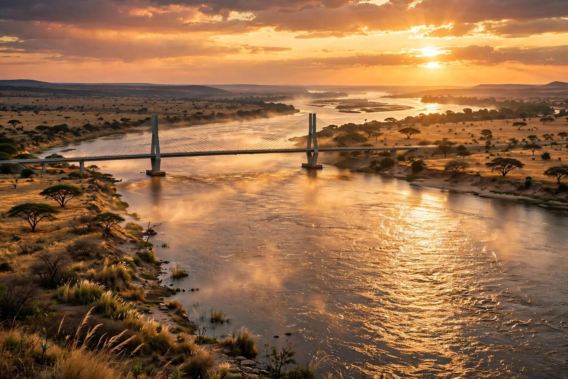
Every empire in European history has had to decide what to do with the Danube: cross it, guard it, or tax the trade floating down it. At roughly 2,850 kilometers, the river runs from a small town in Germany's Black Forest to the Black Sea, touching ten countries and four national capitals — Vienna, Bratislava, Budapest, and Belgrade, more capitals than any other river on Earth. It is Europe's second-longest river after the Volga, but no other river has spent two millennia as a political frontier and lived to become a symbol of cooperation.
What makes the Danube different from every other river?
Geography first. The Danube is born at Donaueschingen, in the Black Forest, where two small streams — the Brigach and the Breg — merge into a river the Germans call the Donau. From there it flows southeast, almost horizontally across the map, which is unusual: most of Europe's great rivers, from the Rhine to the Volga, run north–south. Along the way it gathers water from more than 300 tributaries, including the Drava, Tisza, and Sava, draining a basin of some 817,000 square kilometers that extends into nineteen countries — the most international river basin in the world. Then it ends spectacularly. The lower Danube splits into a vast wetland labyrinth, the Danube Delta, before emptying into the Black Sea across Romania and Ukraine. It is one of Europe's great wild places, a maze of channels, reed beds, and floating islands — and a fitting finale for a river that has spent its whole course collecting landscapes: Alpine gorges, the Hungarian plain, and the Iron Gate, where it slices dramatically through the Carpathians.
How did the Danube become the Roman Empire's wall?
The Romans knew the river as the Danubius, and for them it was the edge of the world. From the Augustan conquests onward, the Danube marked the empire's northern frontier — the limes — for roughly five centuries, a fortified line of legionary fortresses, watchtowers, and patrol fleets separating Roman civilization from the Germanic and other peoples beyond. Roman engineers even cut a canal around the Iron Gate's rapids to keep supply ships moving. Look at a map of the river's great cities and you are looking at a Roman military atlas. Vindobona became Vienna. Aquincum became Budapest. Singidunum became Belgrade. Sexantaprista became Ruse. Each began as a camp or fort guarding the same waterway, and each outgrew its walls to become a capital. The frontier was never just a wall, either — it was a permeable one. Traders, soldiers, and ideas crossed it constantly, which is why the Danube corridor today holds layers of Roman roads, amphitheaters, and ruins beneath its medieval old towns.
Whose border was it after Rome?
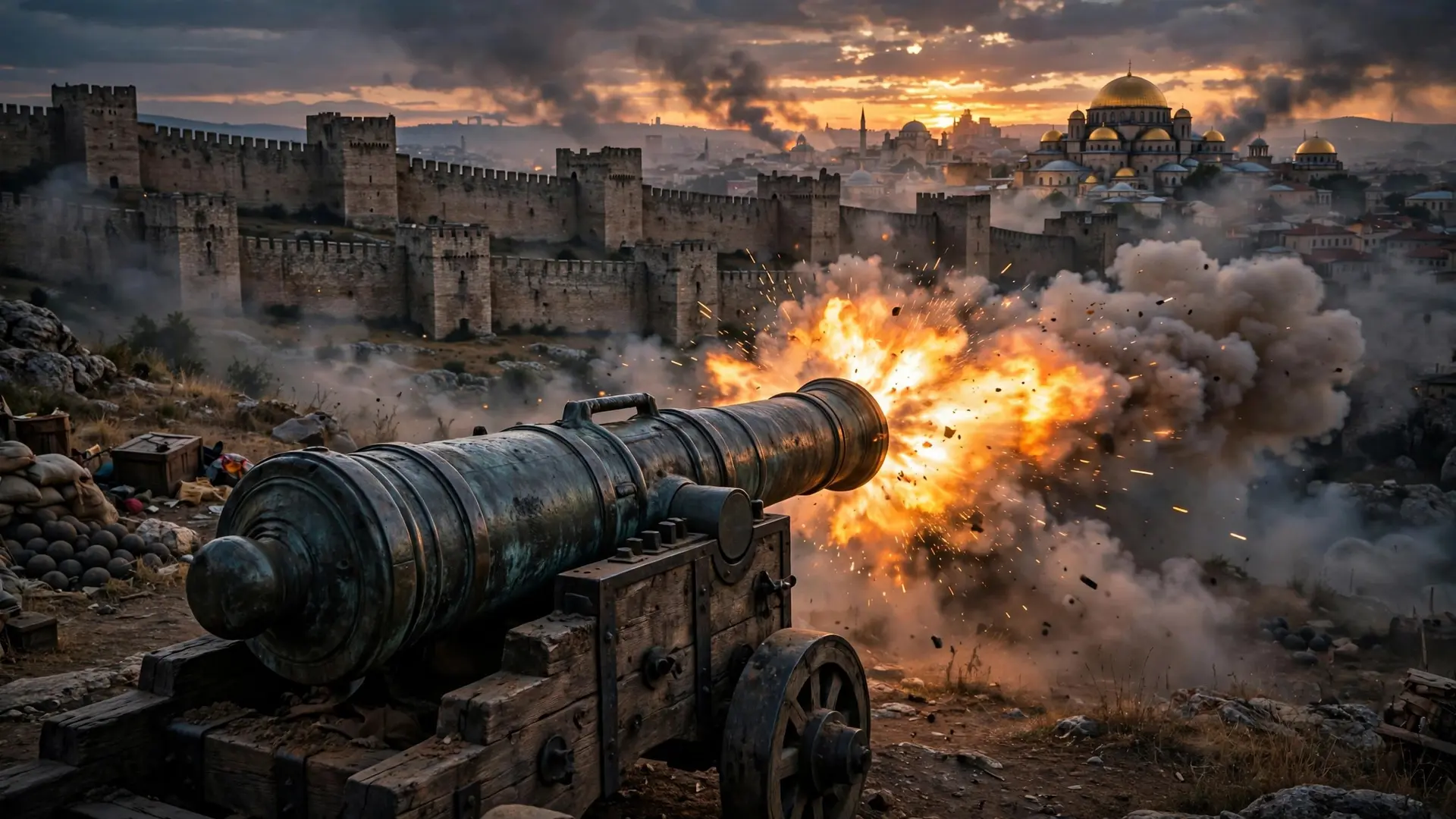
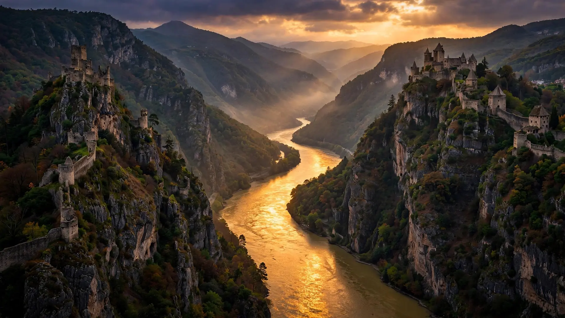
After the Western Empire fell, the Danube refused to retire from politics. For centuries it was the fault line between the Habsburg and Ottoman empires — Christianity's and Islam's great powers staring at each other across the same water Rome had guarded. Belgrade changed hands repeatedly; Vienna itself was besieged by Ottoman armies in 1529 and again in 1683, and the river's fortresses decided campaigns. The cliffs above the water still tell that story. The Danube's banks are studded with castles and fortified towns — some Roman foundations rebuilt by medieval kings, some Ottoman, some Habsburg — because whoever held the high ground held the trade. The river has always been two things at once: a barrier to armies and a highway for merchants. Empires fought over it precisely because controlling the crossing meant controlling the commerce.
When did the Danube stop being a wall and start being a bridge?
The transformation was slow, then sudden. The 19th century brought steamships and the first international river commissions; the 20th brought the Rhine–Main–Danube Canal, completed in 1992, which linked the river to the Rhine and created a continuous navigable waterway from the North Sea to the Black Sea. After the Cold War — during which the Iron Curtain had, once again, turned parts of the river into a sealed border — the Danube reinvented itself as a shared resource. Today it is governed by the International Commission for the Protection of the Danube River (ICPDR), one of the world's largest transboundary water-management bodies, coordinating nineteen basin countries. In normal conditions the river carries an estimated 100 million tonnes of cargo a year — grain, steel, containers — through major inland ports like Galați and Brăila. River cruises glide past the same fortresses that once bristled with cannon. The river that divided empires now requires them, or their successors, to cooperate: a drought or pollution spill in one country is every country's problem, as recent low-water years have made painfully clear. Like all great rivers, the Danube is also a sculptor — its meandering bends and its sprawling delta are geology in motion, reshaping the land even as history reshapes its banks.
What does the river look like today?
Stand on the Chain Bridge in Budapest at dusk, and the Danube is doing what it has always done: reflecting a capital back at itself, its bridges strung with lights. But the meaning has changed. The four capitals on its banks — Vienna, Bratislava, Budapest, Belgrade — were once rival imperial outposts; today they are stops on the same cruise itinerary. The Iron Gate, once Rome's most dreaded rapids, is now a reservoir behind a joint Serbian–Romanian dam. The Danube's secret is that it was never really just a border or just a highway — it was always both, and the balance shifted with the centuries. Rome used it as a wall. The Ottomans and Habsburgs used it as a front line. Modern Europe uses it as plumbing, power, and a reminder that nineteen countries can, when a river forces them to, manage something together. Two thousand years of empires rose and fell along its banks. The river is still there, still flowing southeast, still indifferent — and still, somehow, the most European place in Europe.
Frequently asked questions
Which countries does the Danube flow through?
Ten: Germany, Austria, Slovakia, Hungary, Croatia, Serbia, Bulgaria, Romania, Moldova, and Ukraine. Nine more countries sit in its drainage basin, making it the world's most international river basin.
Is the Danube the longest river in Europe?
No — at roughly 2,850 km it is the second-longest after Russia's Volga. But it is the longest river entirely within the European Union and the one flowing through the most countries.
Why is the Danube called the river of empires?
For two thousand years it was a political frontier: Rome's northern border, the fault line between the Habsburg and Ottoman empires, and later the seam between Cold War blocs.